Mallorca route guide · Pla de Mallorca
Riding The camí vell de Muro — Biniagual to Inca
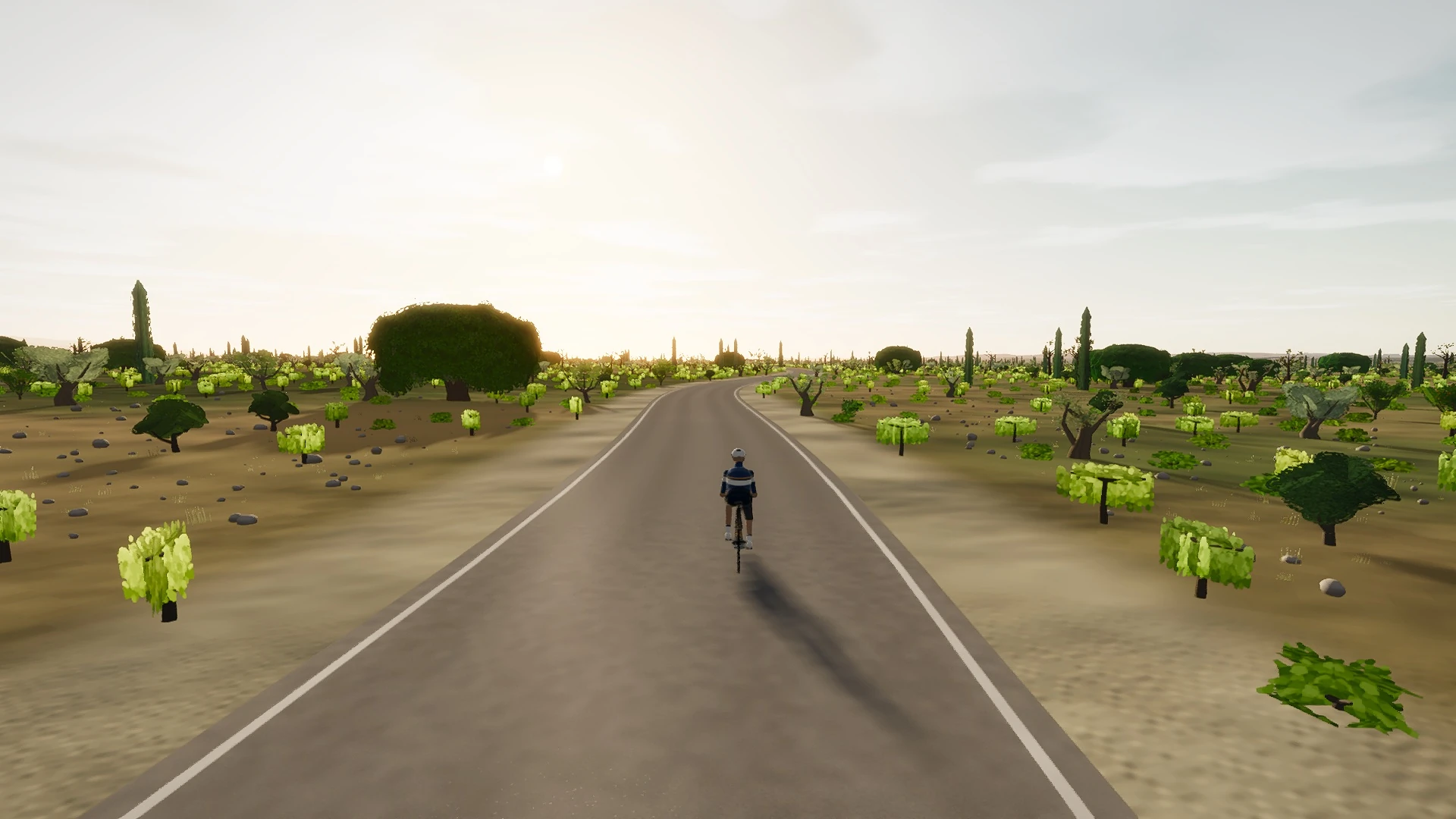
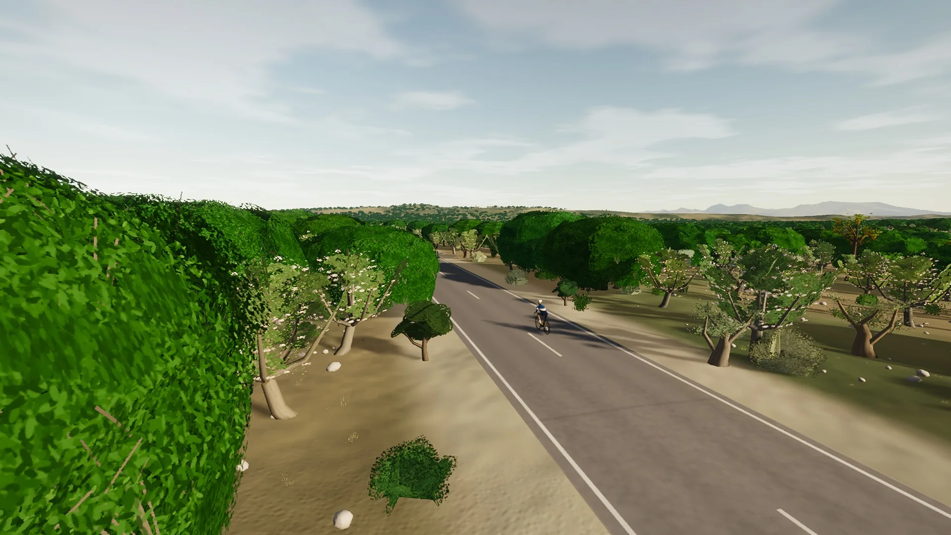
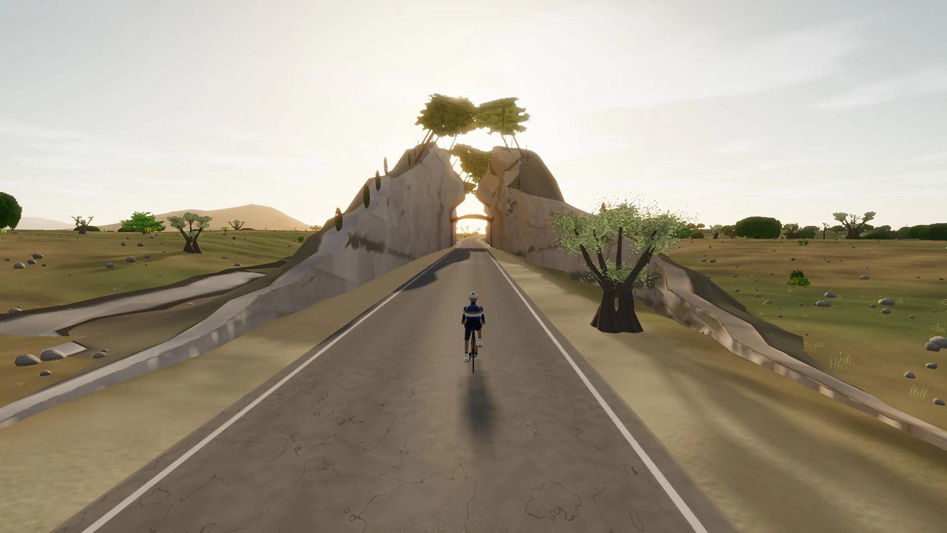
Nine kilometres east from the hamlet, opening on 274.2 m of sett through Biniagual itself and running under the Bosc de Son Ramis oak wood behind its kilometre of paret cabrera. At s 6,560 it passes a 14.1 m bore the survey said did not exist. Wood is 40.2 % of the rural ground and the line falls 36.6 m to the Ma-3400 above Inca.
This point-to-point line covers 9.1 km, from cobbles, an oak wood, and a bore that was not on the map.
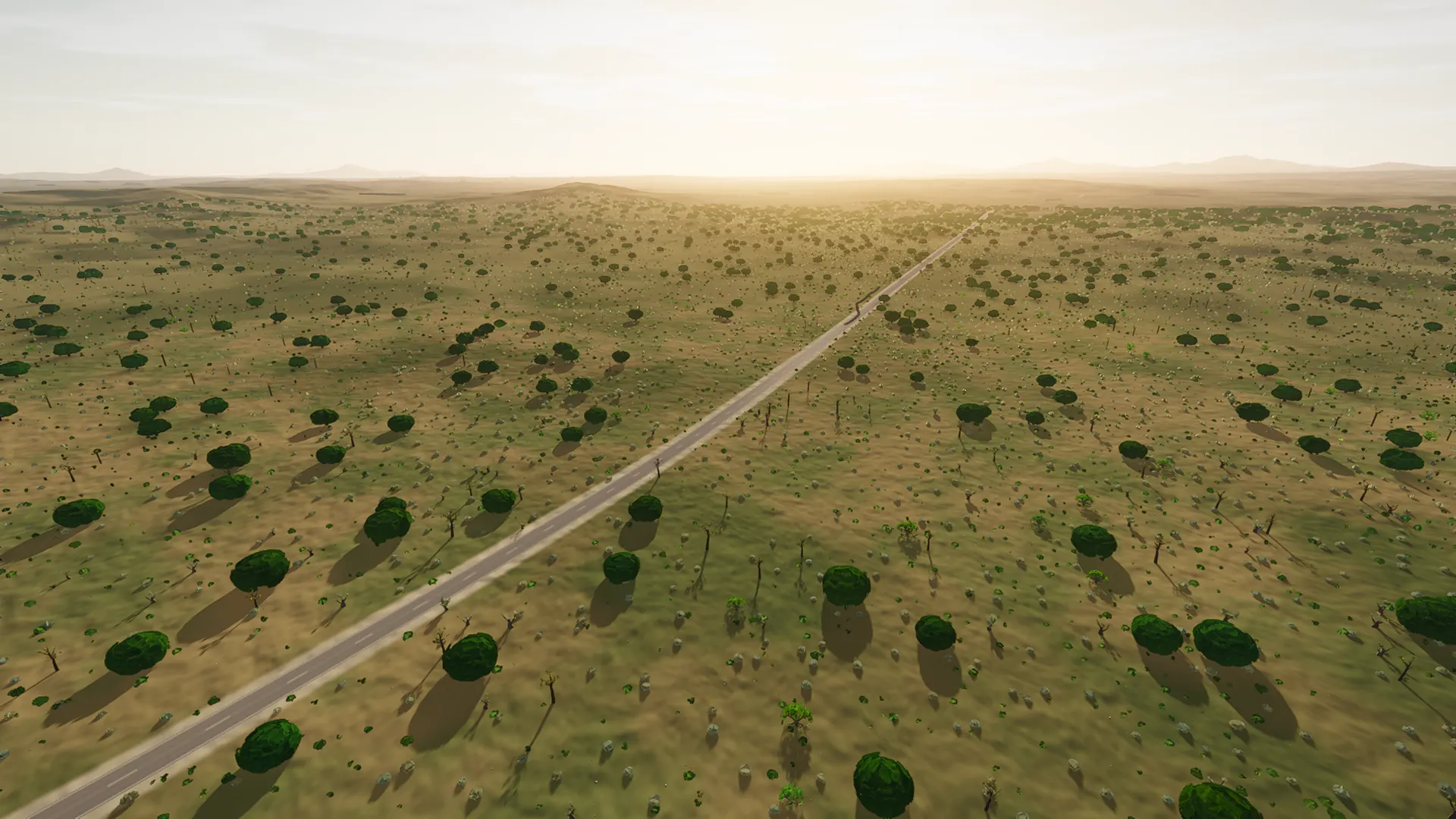
The Pla is the subject here: worked parcels, mills, vines, almond and carob, long sightlines, and roads whose small changes in height are amplified by the open horizon.
 Captured in muntro
Relief, gradient, and how to pace it
The profile is restrained by Mallorca standards: 38 m separates its lowest and highest points. The interest comes from rhythm, surface changes, exposed straights, and the way the road moves through the landscape rather than one headline climb.
Use the opening kilometres to find cadence and keep the power smooth. The route is ideal for endurance work, recovery riding, or simply exploring the island without a large climbing bill.
Points to watch for
The best Mallorca routes are remembered as a sequence of places, not as a GPX line. These are the changes of scene that organise this ride.
- 01
Biniagual
The route rolls away from Biniagual, giving you a few minutes to find cadence and read the road ahead.
- 02
cobbles, an oak wood, and a bore that was not on the map
cobbles, an oak wood, and a bore that was not on the map is one of the route’s defining changes of scene and a useful marker for pacing the ride.
- 03
105 m high point
At 105 m high point, the elevation trace reaches its ceiling before the road releases the height it has earned.
Why this road works indoors
muntro does not flatten the camí vell de Muro — Biniagual to Inca into a workout backdrop. The route’s bends, height, and junction order come from the road itself, while a compatible trainer reproduces the changing gradient under your pedals.
The point-to-point format gives the session a destination. There is no need to invent a finish when the real road already has one.
Before you clip in.
How long is The camí vell de Muro — Biniagual to Inca?
The route is 9.1 km from start to finish, with 13 m of measured climbing.
How hard is The camí vell de Muro — Biniagual to Inca?
muntro rates it easy. The route reaches 105 m, accumulates 13 m of ascent, and its sampled steepest gradient is 3.5%.
Can I ride The camí vell de Muro — Biniagual to Inca indoors?
Yes. The Ride now link opens this exact road in muntro. A compatible smart trainer or power meter can drive the ride directly in the browser.