Mallorca route guide · Serra de Tramuntana
Riding The Formentor Road
Antoni Parietti’s cape road, and the opposite of every other climb in this world: nineteen kilometres open on one side, where the subject is the horizon rather than the wall. Out of Port de Pollença — a training-camp town with four bike shops in 570 m — the road climbs steadily to the Coll de sa Creueta at 207 m, the corridor’s only sustained climb and the one every rider knows. Past the col it becomes a fourteen-kilometre sawtooth, falling to the beach and climbing again through the single bore under the Puig del Fumat, in and out of every cove to the lighthouse. The whole road is carried on a dry-laid rubble retaining wall capped flush with the asphalt, and the ground gets barer the further out you go: pine, then scrub, then almost nothing but pale karst. There is no food between the col kiosk and the cape — eighteen kilometres out and eighteen back.
The mapped road is 19.1 km each way. Muntro carries it to the turnaround and back, so the complete ride is 38.1 km with 840 m of climbing.
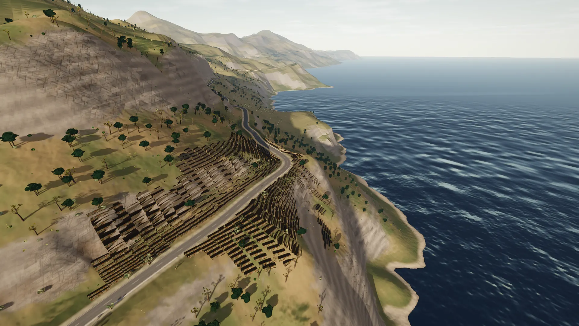
This is coastal Mallorca rather than a generic blue horizon: the road’s relationship with coves, cliffs, ports, stone retaining walls, and open water is what defines it.
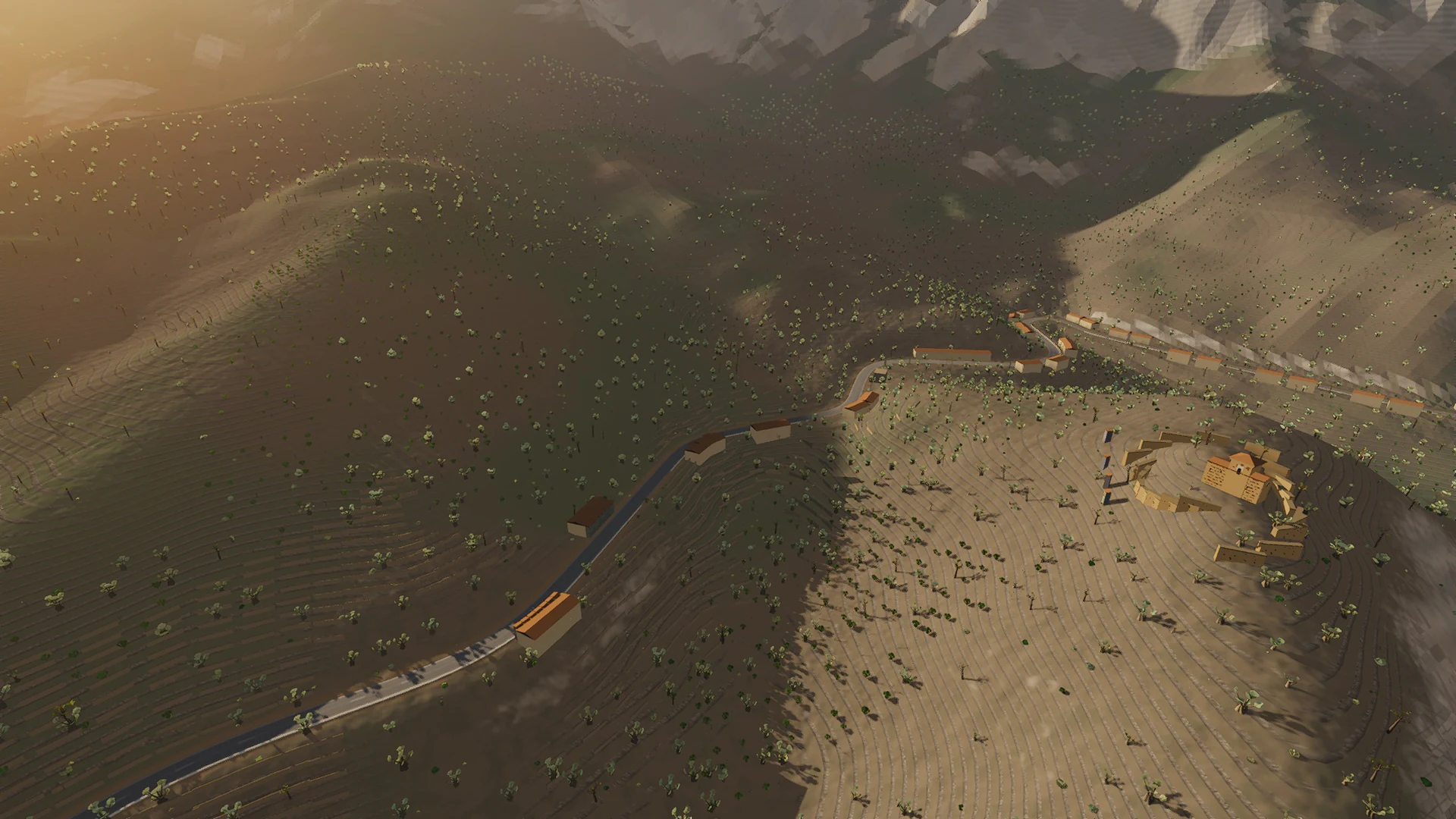
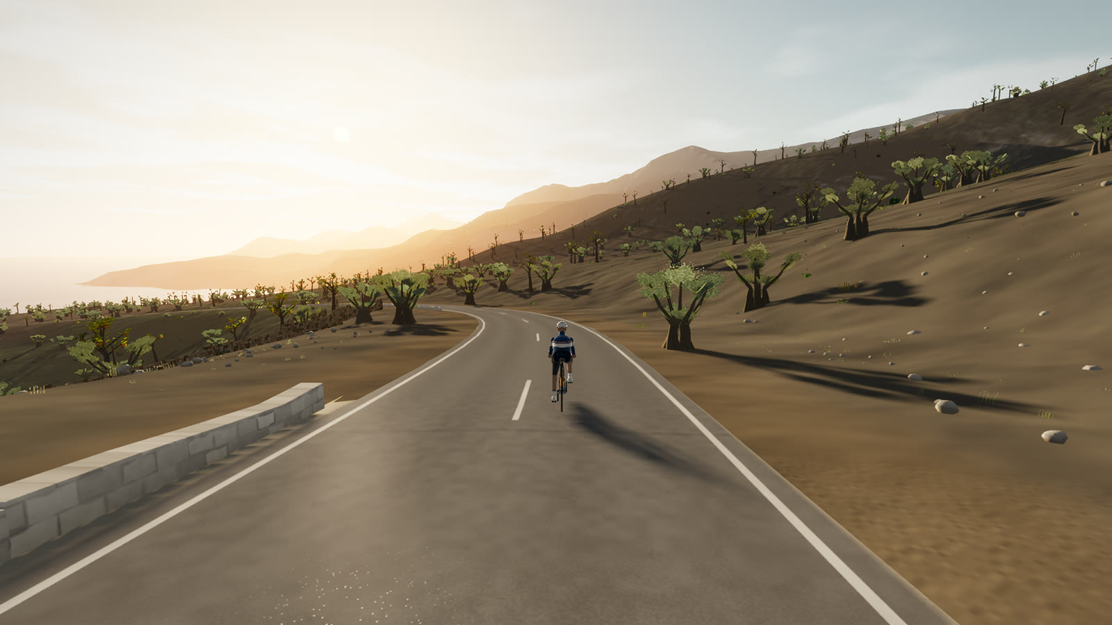
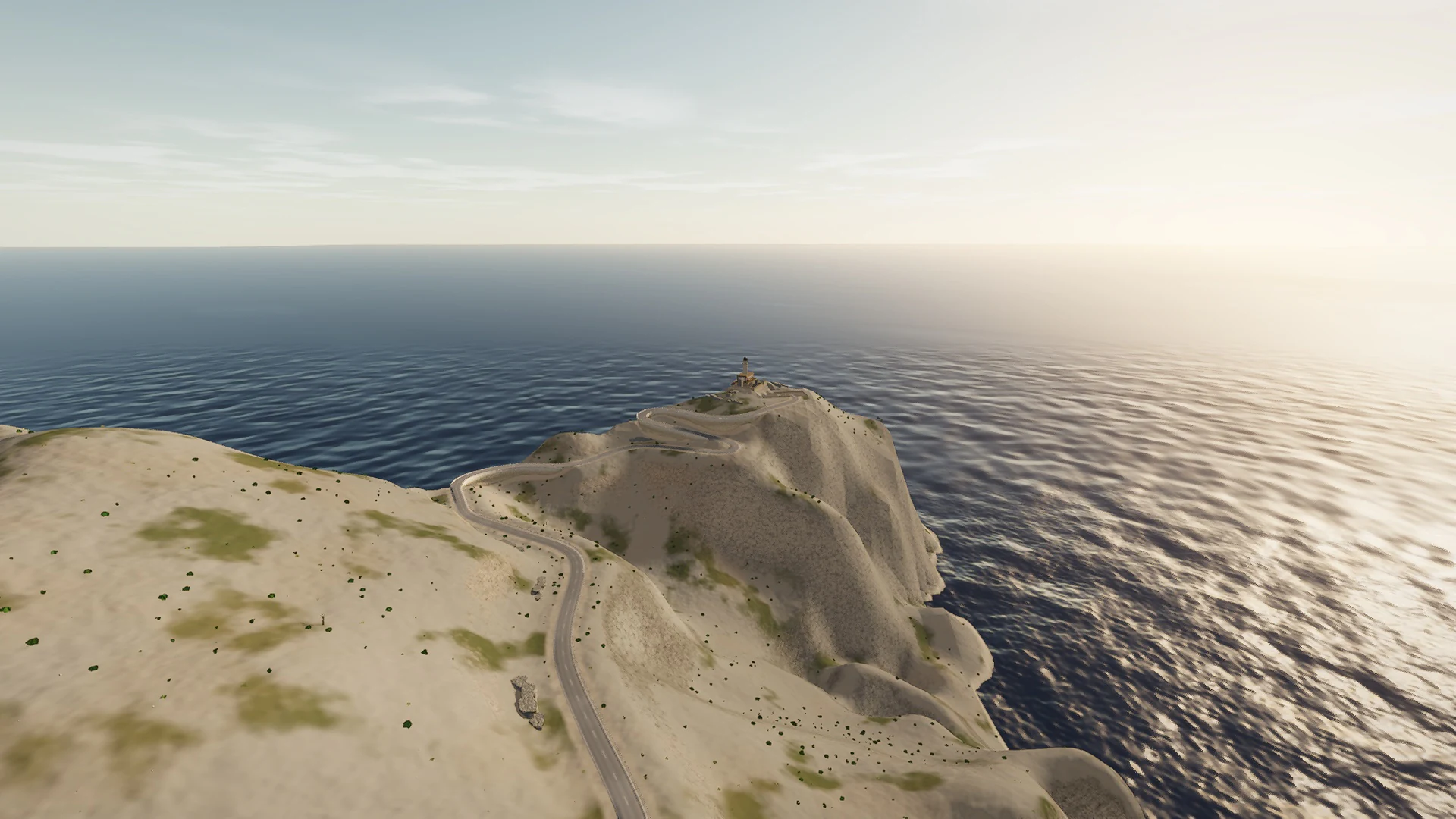
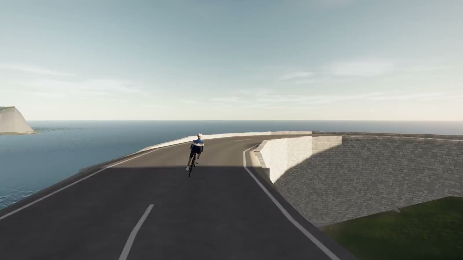 Captured in muntro
Relief, gradient, and how to pace it
The elevation trace is rolling rather than alpine, spanning 219 m from low point to high point. There is 840 m of total ascent, enough to reward measured pressure over the rises without turning the whole route into a survival exercise.
Start conservatively and keep something in reserve for the final third. On a smart trainer the real gradient changes arrive exactly where the road changes, so a smooth power ceiling matters more than chasing speed on every ramp.
Points to watch for
The best Mallorca routes are remembered as a sequence of places, not as a GPX line. These are the changes of scene that organise this ride.
- 01
Port de Pollença
The route leaves one of Mallorca’s great cycling bases directly along the waterfront.
- 02
Coll de sa Creueta
The sustained opening climb reaches a 207-metre sea-view balcony.
- 03
Fumat tunnel
A single bore cuts through the cape’s bare limestone spine.
- 04
Far de Formentor
The lighthouse is the absolute end of the road—and the only possible turnaround.
Why this road works indoors
muntro does not flatten the Formentor Road into a workout backdrop. The route’s bends, height, and junction order come from the road itself, while a compatible trainer reproduces the changing gradient under your pedals.
The turnaround matters: you learn the road in one direction, then read every slope and landmark differently on the way back.
Before you clip in.
How long is The Formentor Road?
The complete virtual ride is 38.1 km. Its mapped road is 19.1 km to the turnaround, then the same line is ridden back.
How hard is The Formentor Road?
muntro rates it hard. The route reaches 220 m, accumulates 840 m of ascent, and its sampled steepest gradient is 10%.
Can I ride The Formentor Road indoors?
Yes. The Ride now link opens this exact road in muntro. A compatible smart trainer or power meter can drive the ride directly in the browser.