Mallorca route guide · Llevant & East Coast
Riding The Manacor Straight
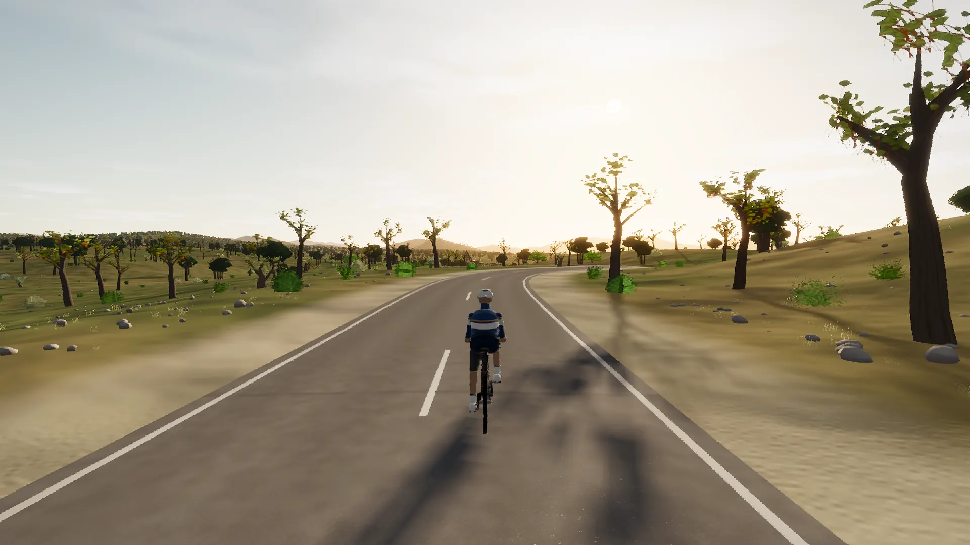
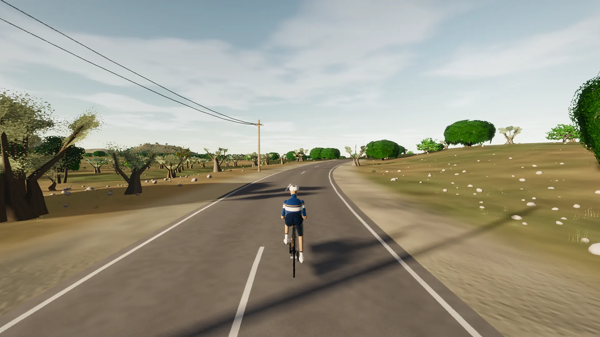
For years the register said this road was dossiered and it was not: three refs whose spellings differ only in case and suffix were filed as one row, and seven and a half kilometres of ninety-kilometre-an-hour primary went missing in plain sight. Here it is. Out of the plaça on Petra’s own streets, down the Ma-3320A rung to the dead end it has ended at since the town was built, then a hundred and eighty metres of new tarmac closes the loop nobody could ride. What follows is the flattest, straightest thing in the Pla: one unbroken way runs six and a half kilometres with no junction to break it, past a windmill in Petra and a windmill in Manacor and nothing between but named ground — Son Moló, s’Elia, Son Cigala, Termenor, es Turó Redó — one name to the kilometre and no village at all. The land tips gently into the torrent de na Borges basin at three per cent, crosses the island’s great eastern watercourse on a culvert you will not notice, and lifts again toward the Bessons switchyard on the horizon. It ends where the law ends it, at the Ma-15’s grade-separated interchange: the trunk beyond is not ours, so the ride turns and takes the straight home.
This is a true 15.5 km circuit: the road closes naturally rather than using an artificial turnaround.
The route is read through settlement edges: narrow streets, rooflines, roundabouts, church towers, old road alignments, and the moment the built fabric releases the rider back into open country.
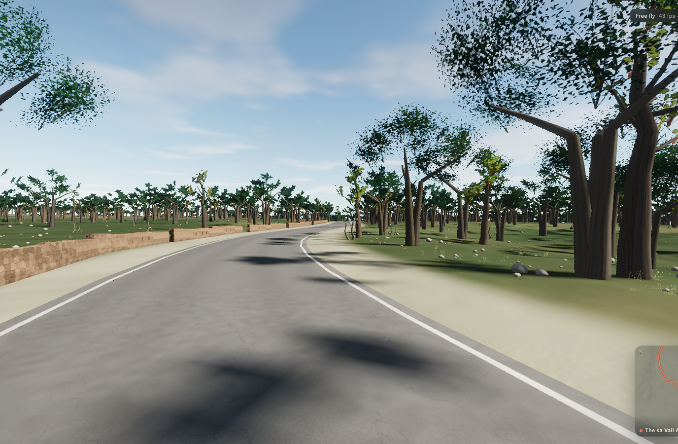 Captured in muntro
Relief, gradient, and how to pace it
The profile is restrained by Mallorca standards: 62 m separates its lowest and highest points. The interest comes from rhythm, surface changes, exposed straights, and the way the road moves through the landscape rather than one headline climb.
Ride the early gradients a shade below the effort you think you can hold. The broken rhythm rewards cadence changes and short, controlled pressure rather than repeated spikes above threshold.
Points to watch for
The best Mallorca routes are remembered as a sequence of places, not as a GPX line. These are the changes of scene that organise this ride.
- 01
Petra
The route rolls away from Petra, giving you a few minutes to find cadence and read the road ahead.
- 02
Petra’s own loop, and the road nobody had ridden
Petra’s own loop, and the road nobody had ridden is one of the route’s defining changes of scene and a useful marker for pacing the ride.
- 03
113 m high point
At 113 m high point, the elevation trace reaches its ceiling before the road releases the height it has earned.
Why this road works indoors
muntro does not flatten the Manacor Straight into a workout backdrop. The route’s bends, height, and junction order come from the road itself, while a compatible trainer reproduces the changing gradient under your pedals.
Because the course closes naturally, it works especially well for repeated laps, steady endurance rides, and comparing the same decisions under fatigue.
Before you clip in.
How long is The Manacor Straight?
The route is 15.5 km from start to finish, with 95 m of measured climbing.
How hard is The Manacor Straight?
muntro rates it moderate. The route reaches 113 m, accumulates 95 m of ascent, and its sampled steepest gradient is 10%.
Can I ride The Manacor Straight indoors?
Yes. The Ride now link opens this exact road in muntro. A compatible smart trainer or power meter can drive the ride directly in the browser.