Mallorca route guide · Llevant & East Coast
Riding The Porto Colom ring
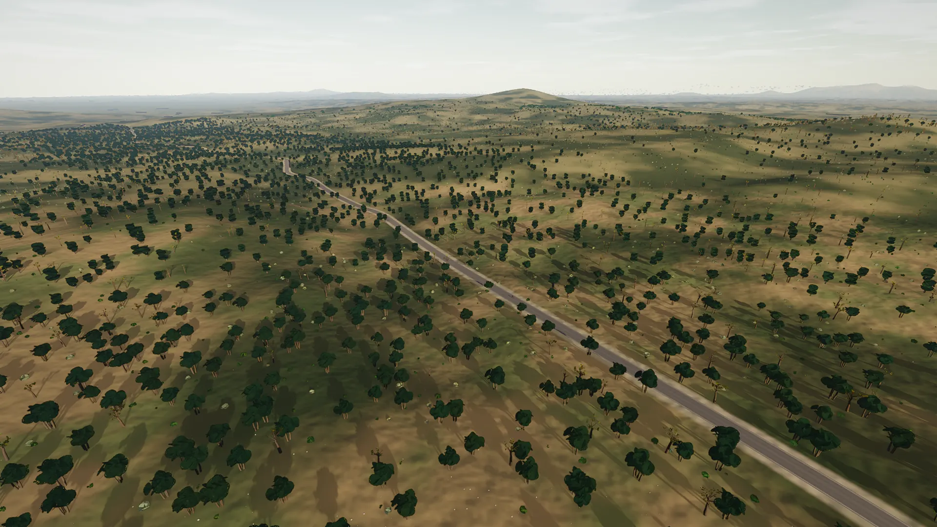
The wine town’s sea road, ridden at last as the ring it always implied: out of Felanitx under the cross-pier gateway where the Sant Salvador climb leaves the road, then the whole carretera Felanitx-Portocolom — the island’s cycling plan proposes widening its shoulders because of the riders on it — falling through almond country onto the Aleppo pine ridge and down to the ring above the harbour. The return is the old riders’ line home: the harbour kilometre to Ca n’Alou, the horta road, the Ma-4016’s 172-metre crest and es Carritxó. Twenty-five and a half kilometres, two crests, one harbour, and the monastery skyline over your shoulder the whole way out.
This is a true 25.5 km circuit: the road closes naturally rather than using an artificial turnaround.
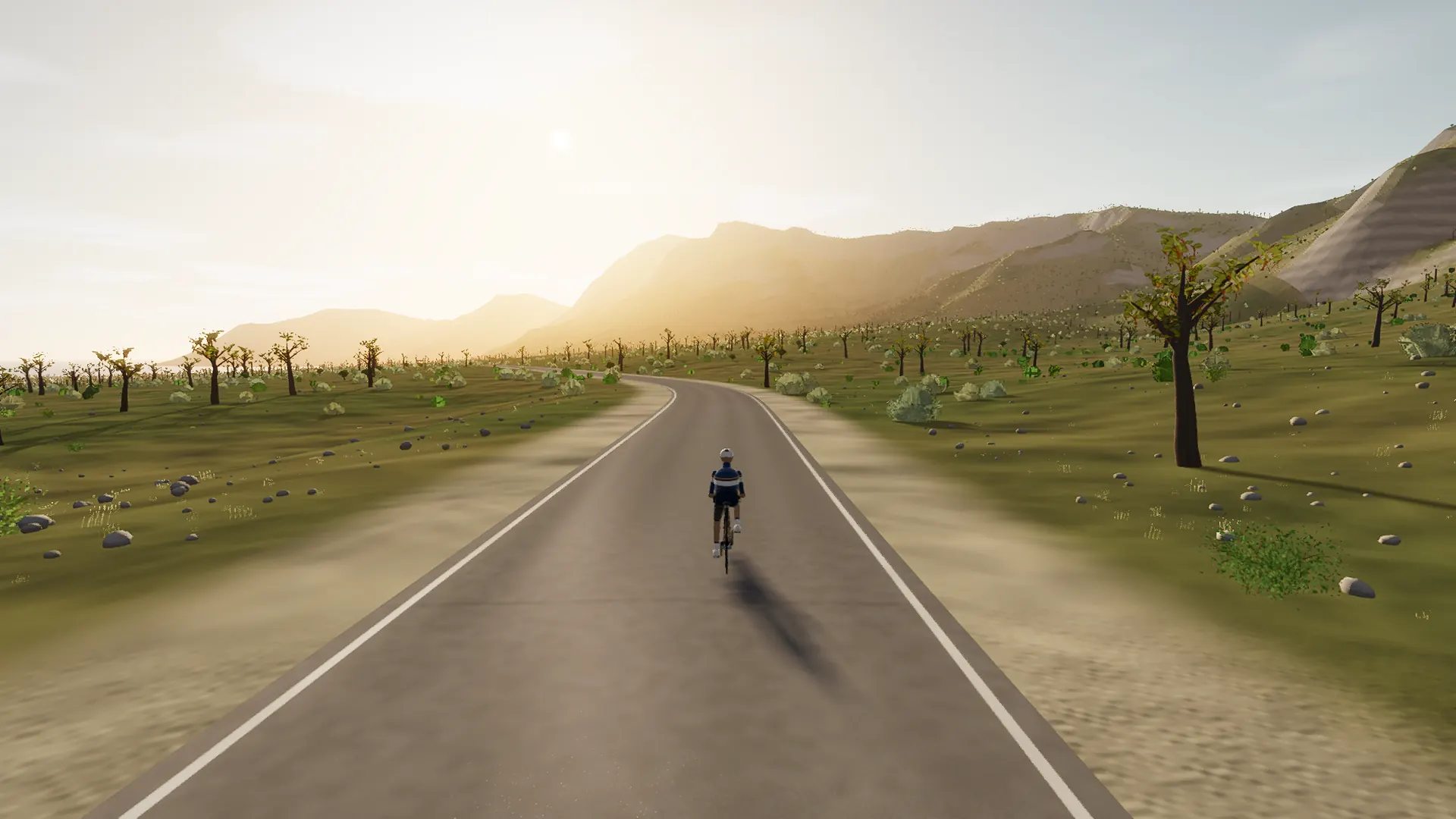
This is coastal Mallorca rather than a generic blue horizon: the road’s relationship with coves, cliffs, ports, stone retaining walls, and open water is what defines it.
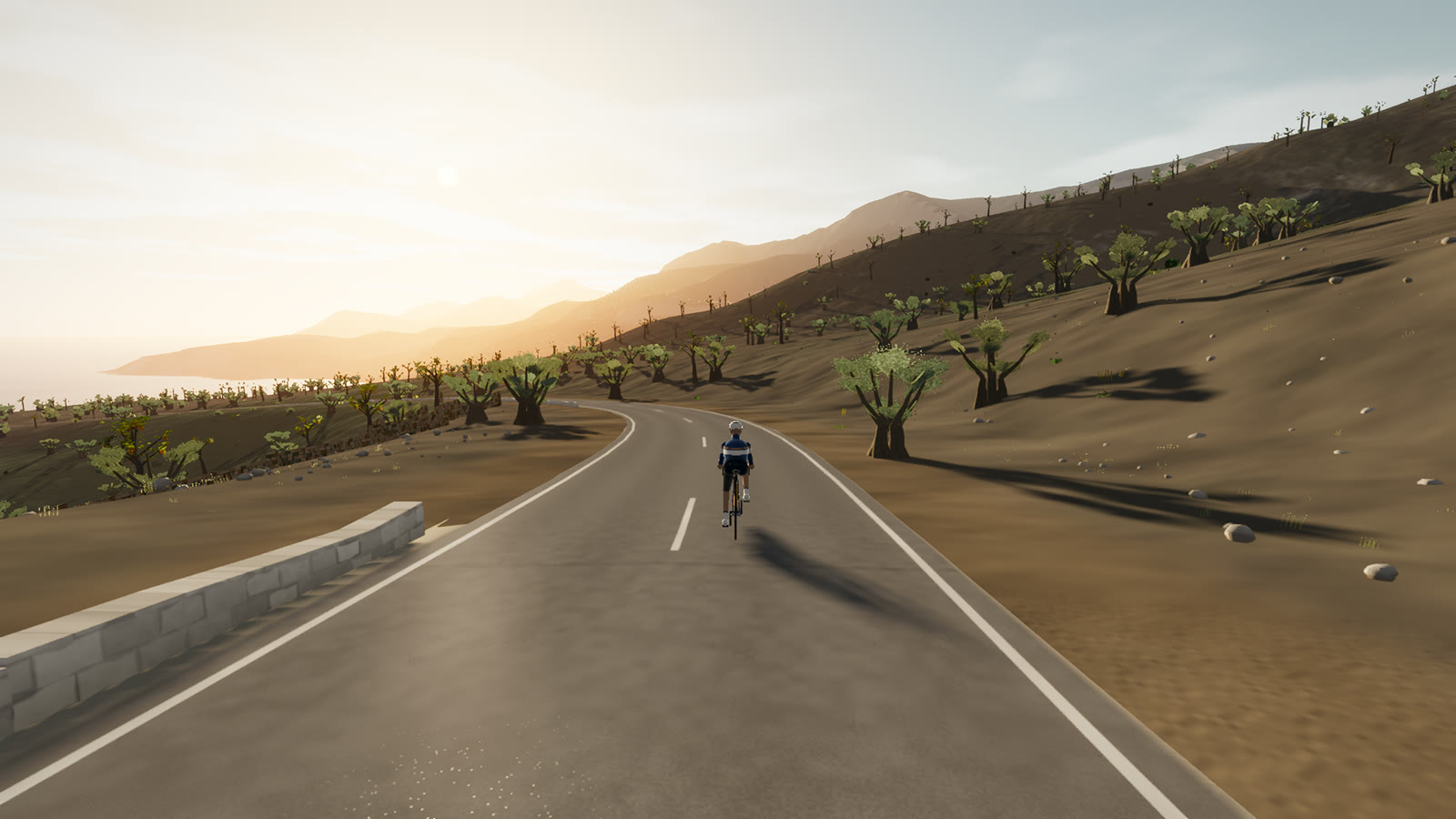 Captured in muntro
Relief, gradient, and how to pace it
The profile is restrained by Mallorca standards: 86 m separates its lowest and highest points. The interest comes from rhythm, surface changes, exposed straights, and the way the road moves through the landscape rather than one headline climb.
Ride the early gradients a shade below the effort you think you can hold. The broken rhythm rewards cadence changes and short, controlled pressure rather than repeated spikes above threshold.
Points to watch for
The best Mallorca routes are remembered as a sequence of places, not as a GPX line. These are the changes of scene that organise this ride.
- 01
Felanitx
The route rolls away from Felanitx, giving you a few minutes to find cadence and read the road ahead.
- 02
the Ma-4010
the Ma-4010 is one of the route’s defining changes of scene and a useful marker for pacing the ride.
- 03
Porto Colom
Porto Colom is one of the route’s defining changes of scene and a useful marker for pacing the ride.
- 04
s’Horta
s’Horta is one of the route’s defining changes of scene and a useful marker for pacing the ride.
- 05
es Carritxó
es Carritxó is one of the route’s defining changes of scene and a useful marker for pacing the ride.
Why this road works indoors
muntro does not flatten the Porto Colom ring into a workout backdrop. The route’s bends, height, and junction order come from the road itself, while a compatible trainer reproduces the changing gradient under your pedals.
Because the course closes naturally, it works especially well for repeated laps, steady endurance rides, and comparing the same decisions under fatigue.
Before you clip in.
How long is The Porto Colom ring?
The route is 25.5 km from start to finish, with 267 m of measured climbing.
How hard is The Porto Colom ring?
muntro rates it moderate. The route reaches 175 m, accumulates 267 m of ascent, and its sampled steepest gradient is 9.3%.
Can I ride The Porto Colom ring indoors?
Yes. The Ride now link opens this exact road in muntro. A compatible smart trainer or power meter can drive the ride directly in the browser.