Mallorca route guide · Serra de Tramuntana
Riding Puig Major
Past both reservoirs and up to the highest road in the Balearics — the lit Monnàber bore at 875 m — then nine kilometres of wooded descent to the terrace at the Mirador de ses Barques.
The mapped road is 12.7 km each way. Muntro carries it to the turnaround and back, so the complete ride is 25.4 km with 710 m of climbing.
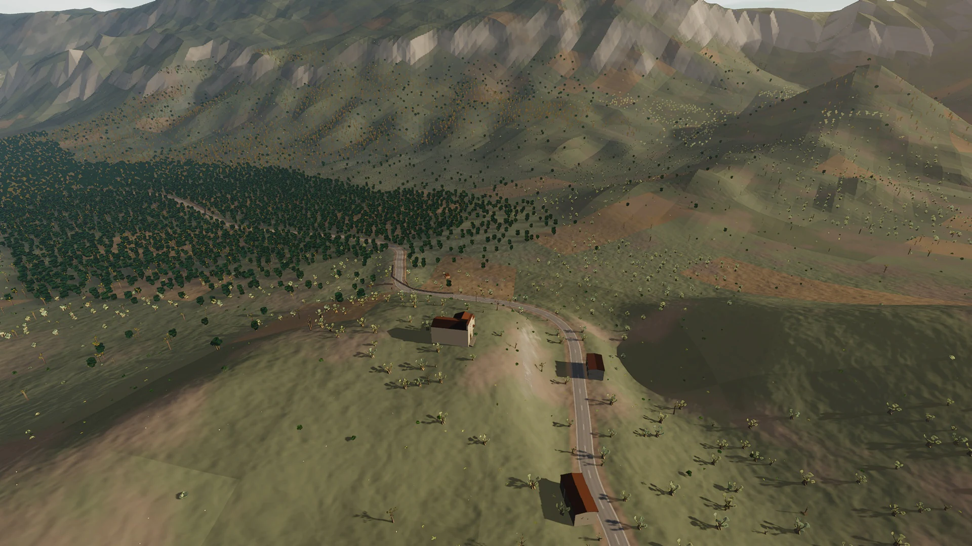
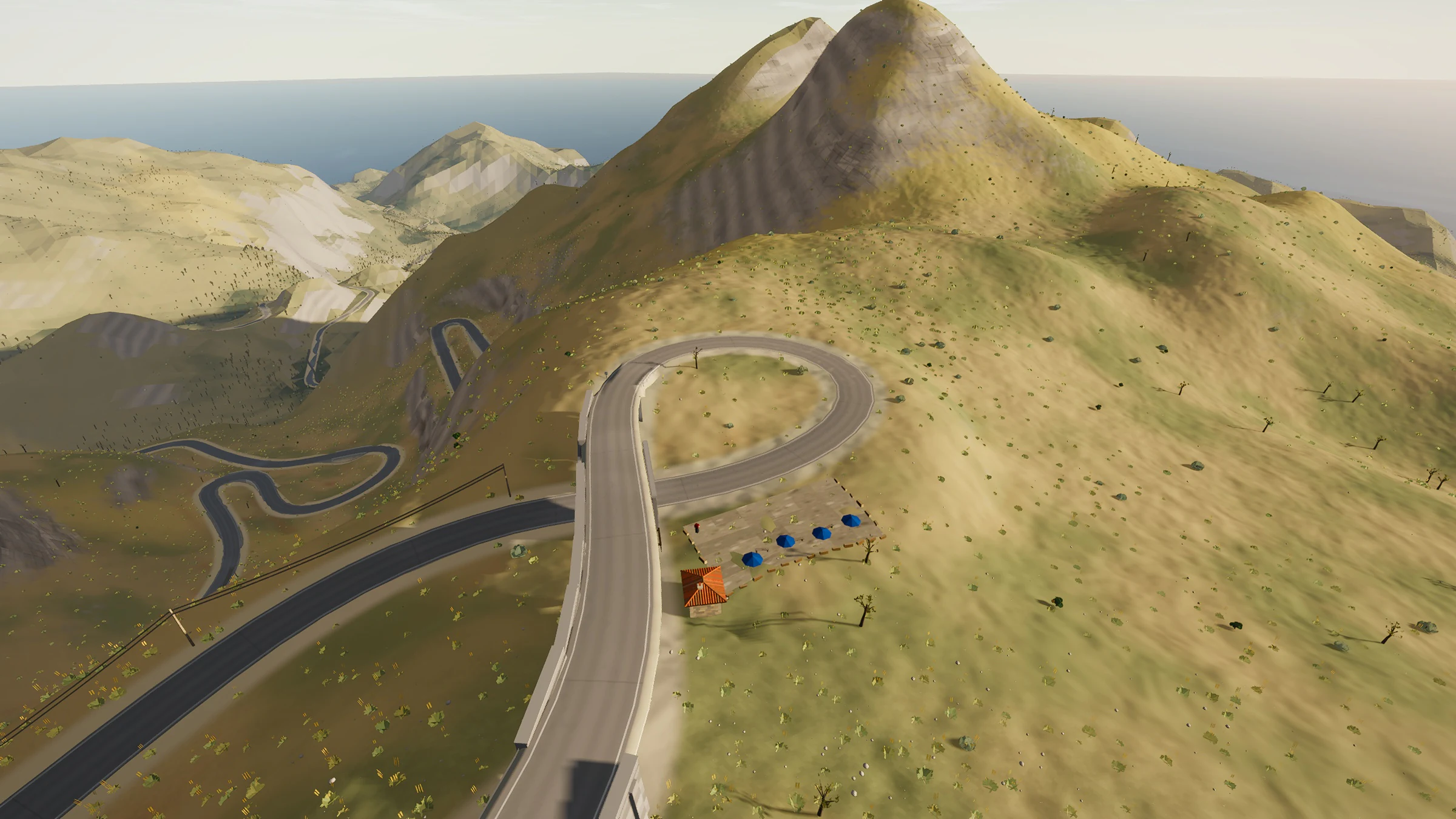
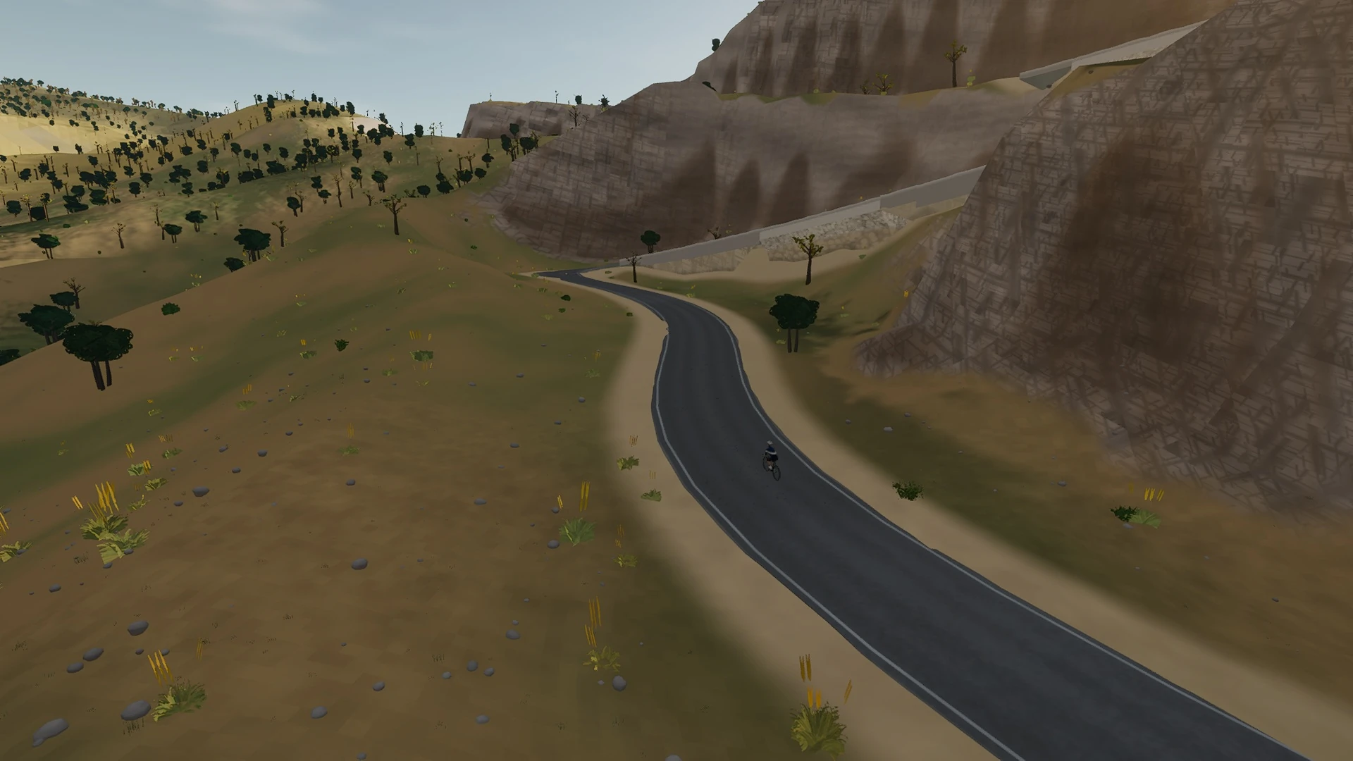
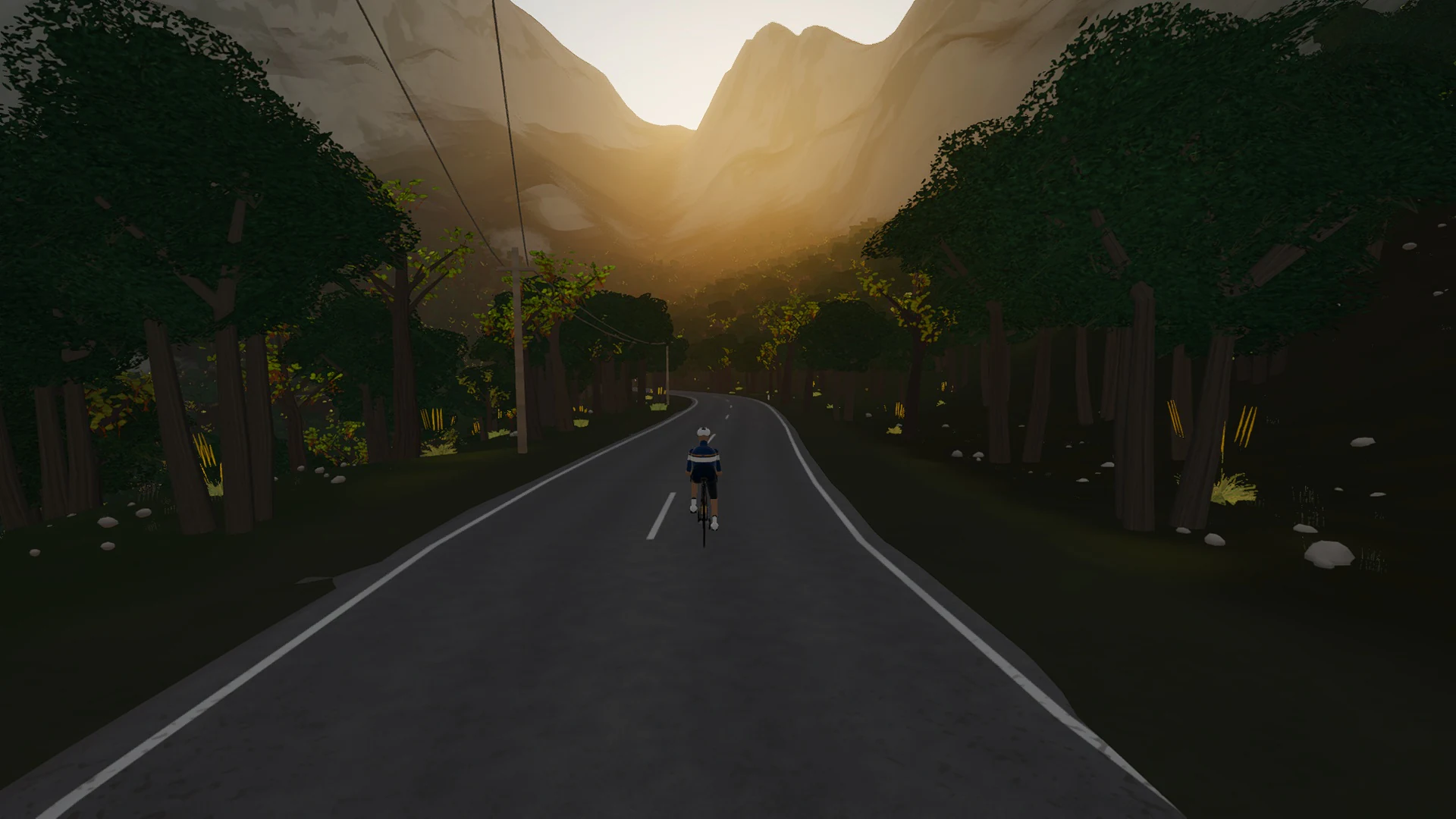
The mountain character comes from more than gradient. Limestone, tunnel mouths, dry-stone edges, pine shade, reservoirs, and compressed hairpins change the view as much as the elevation.
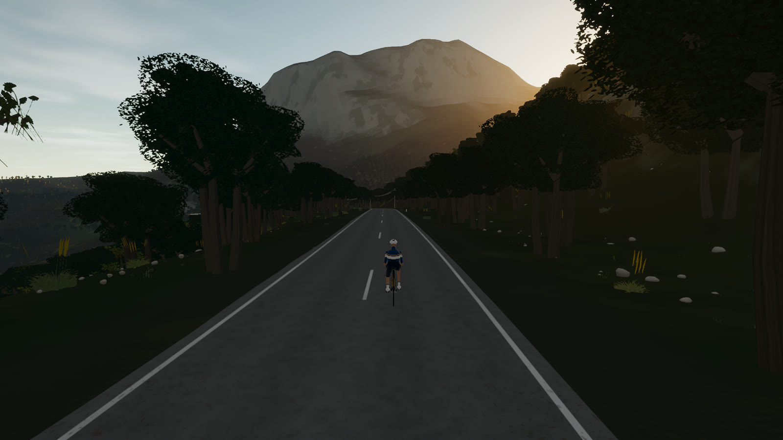 Captured in muntro
Relief, gradient, and how to pace it
This is serious vertical terrain. The road spans 463 m from bottom to top and accumulates 710 m of ascent, with sampled ramps reaching 8.6%. The profile makes the pacing decision visible before the first pedal stroke.
Start conservatively and keep something in reserve for the final third. On a smart trainer the real gradient changes arrive exactly where the road changes, so a smooth power ceiling matters more than chasing speed on every ramp.
Points to watch for
The best Mallorca routes are remembered as a sequence of places, not as a GPX line. These are the changes of scene that organise this ride.
- 01
Gorg Blau
The darker reservoir is the eastern bookend to the high-road traverse.
- 02
Cúber
The paler, broader lake opens the view beneath Puig Major.
- 03
Túnel de Monnàber
At roughly 875 metres, the lit bore is the highest public-road point in the Balearics.
- 04
Mirador de ses Barques
The wooded descent finishes on a terrace looking down toward Port de Sóller.
Why this road works indoors
muntro does not flatten Puig Major into a workout backdrop. The route’s bends, height, and junction order come from the road itself, while a compatible trainer reproduces the changing gradient under your pedals.
The turnaround matters: you learn the road in one direction, then read every slope and landmark differently on the way back.
Before you clip in.
How long is Puig Major?
The complete virtual ride is 25.4 km. Its mapped road is 12.7 km to the turnaround, then the same line is ridden back.
How hard is Puig Major?
muntro rates it hard. The route reaches 869 m, accumulates 710 m of ascent, and its sampled steepest gradient is 8.6%.
Can I ride Puig Major indoors?
Yes. The Ride now link opens this exact road in muntro. A compatible smart trainer or power meter can drive the ride directly in the browser.