Mallorca route guide · Serra de Tramuntana
Riding Coll de sa Batalla
East on the MA-10 under the holm oaks, over the unmarked 680 m crest, down to the fuel station at the col, then the switchbacks of the sa Batalla to the olive terraces of Caimari.
This point-to-point line covers 17.3 km, from Els Arcs toward the col toward Caimari.
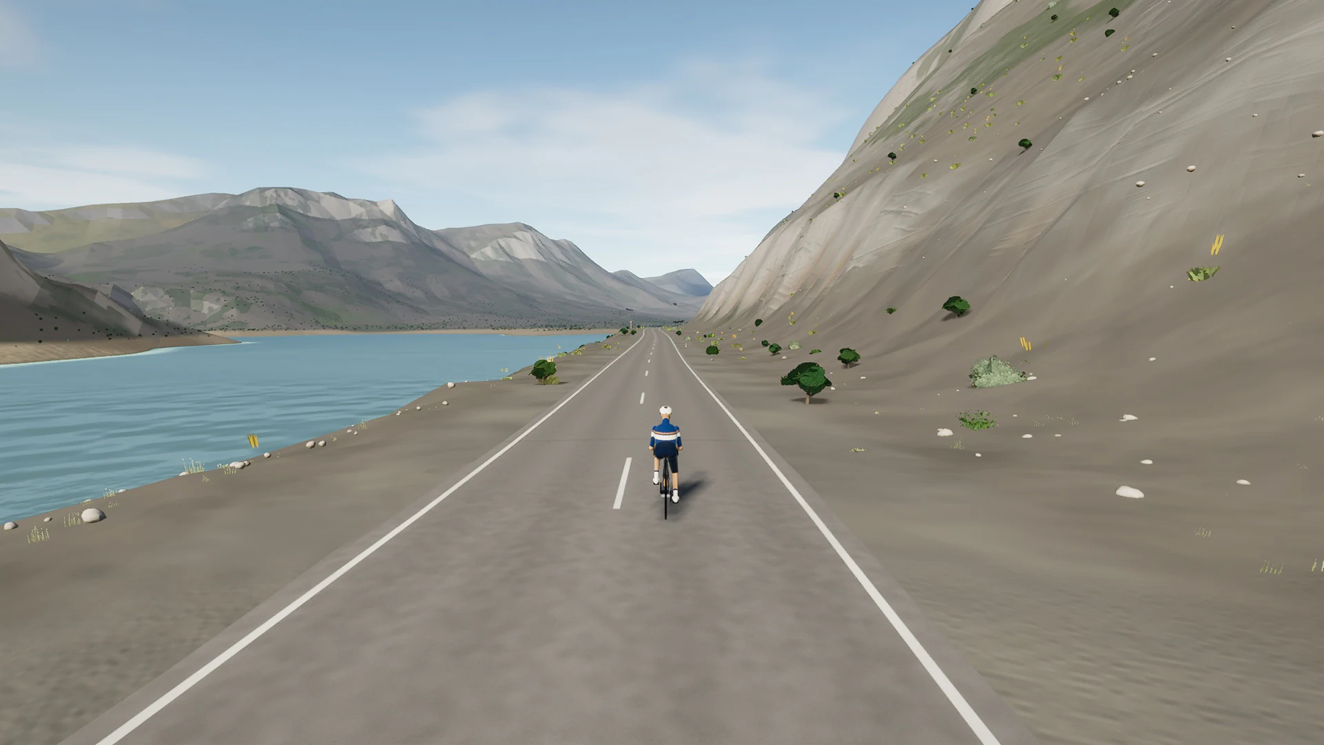
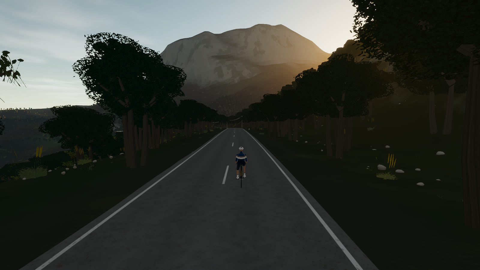
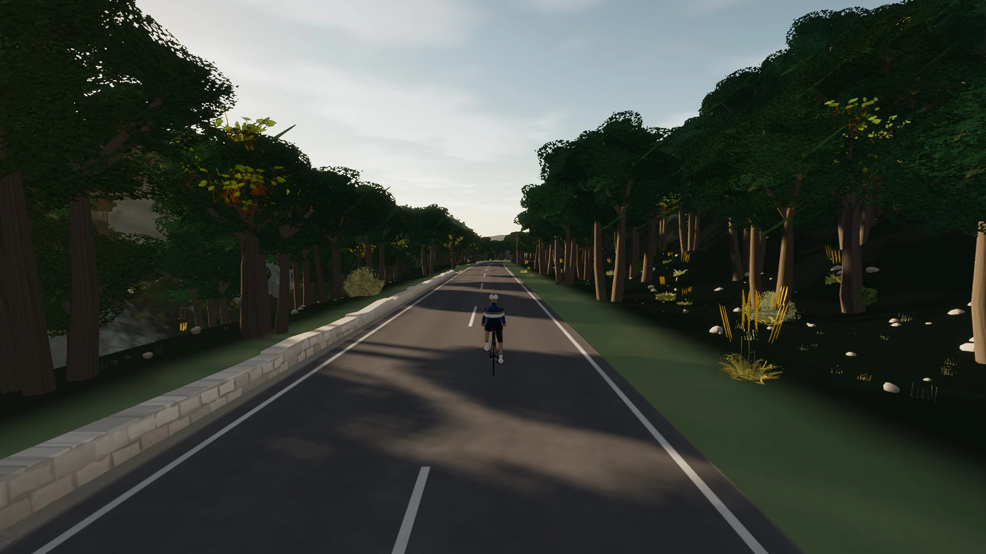
The mountain character comes from more than gradient. Limestone, tunnel mouths, dry-stone edges, pine shade, reservoirs, and compressed hairpins change the view as much as the elevation.
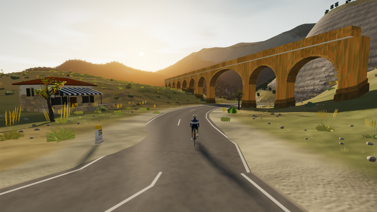 Captured in muntro
Relief, gradient, and how to pace it
This is serious vertical terrain. The road spans 505 m from bottom to top and accumulates 154 m of ascent, with sampled ramps reaching 7.5%. The profile makes the pacing decision visible before the first pedal stroke.
Use the opening kilometres to find cadence and keep the power smooth. The route is ideal for endurance work, recovery riding, or simply exploring the island without a large climbing bill.
Points to watch for
The best Mallorca routes are remembered as a sequence of places, not as a GPX line. These are the changes of scene that organise this ride.
- 01
Els Arcs
The MA-10 leaves the high mountain junction under dense holm oak.
- 02
Coll de sa Batalla
The café and fuel stop mark the road’s best-known gathering point near Lluc.
- 03
The switchbacks
The descent stacks its turns in pine shade before the landscape opens.
- 04
Caimari
Olive terraces and honey-coloured stone announce the finish at the mountain’s foot.
Why this road works indoors
muntro does not flatten Coll de sa Batalla into a workout backdrop. The route’s bends, height, and junction order come from the road itself, while a compatible trainer reproduces the changing gradient under your pedals.
The point-to-point format gives the session a destination. There is no need to invent a finish when the real road already has one.
Before you clip in.
How long is Coll de sa Batalla?
The route is 17.3 km from start to finish, with 154 m of measured climbing.
How hard is Coll de sa Batalla?
muntro rates it easy. The route reaches 676 m, accumulates 154 m of ascent, and its sampled steepest gradient is 7.5%.
Can I ride Coll de sa Batalla indoors?
Yes. The Ride now link opens this exact road in muntro. A compatible smart trainer or power meter can drive the ride directly in the browser.