Mallorca route guide · Serra de Tramuntana
Riding The Porreres camins vells
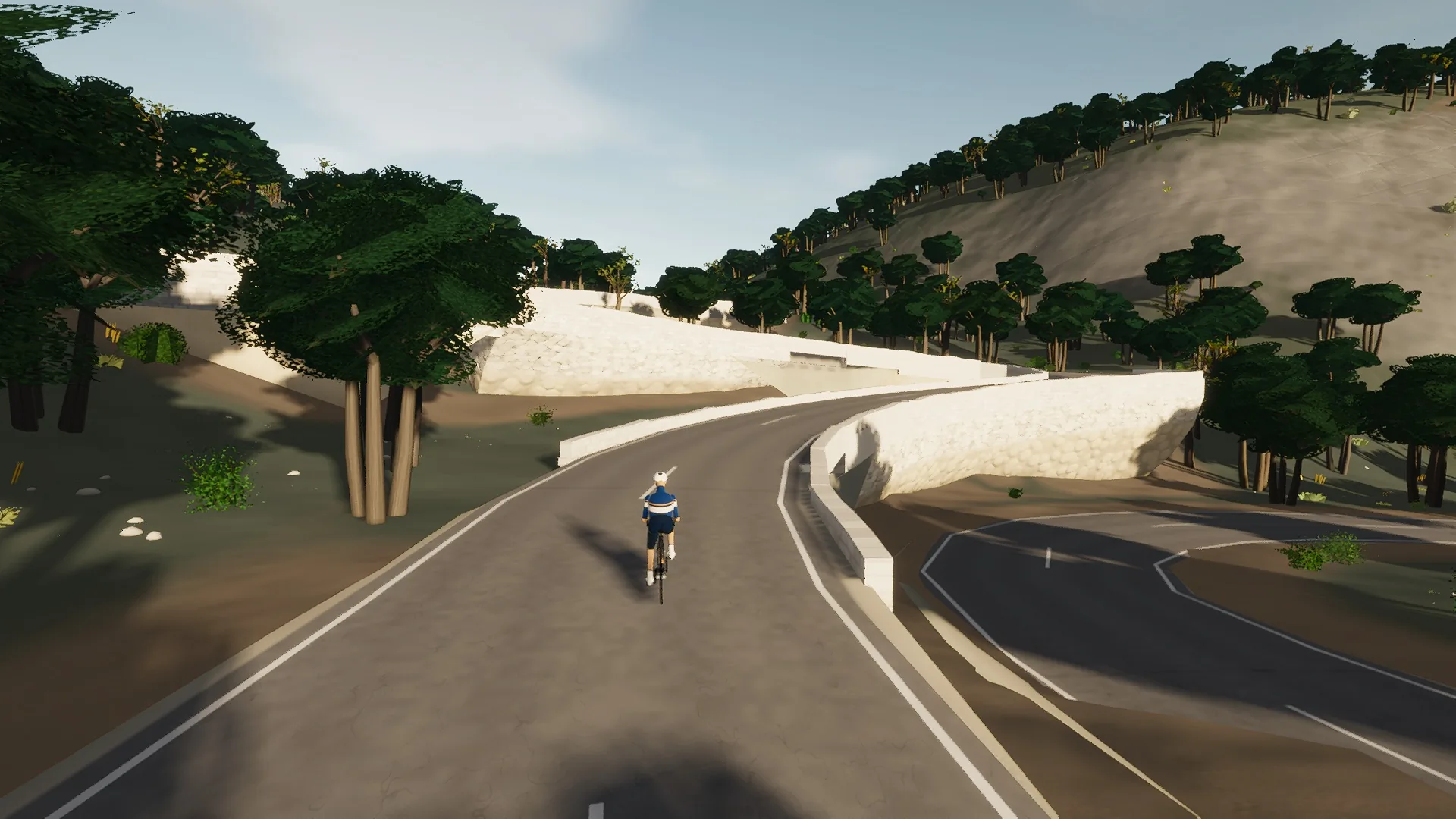
Porreres' old roads and the two sanctuaries above them. A short climb from the Pou Nou roundabout reaches Monti-Sion on its hill over the town; then the camí vell de Porreres and the Ma-5017 run between drystone walls and almond to Randa, where the Ma-5018 climbs to the sanctuaries on the Puig de Randa. The way home takes the camí vell de Montuïri in to the village and back, and the ride ends where it began, in Porreres.
This is a true 46.5 km circuit: the road closes naturally rather than using an artificial turnaround.
The route is read through settlement edges: narrow streets, rooflines, roundabouts, church towers, old road alignments, and the moment the built fabric releases the rider back into open country.
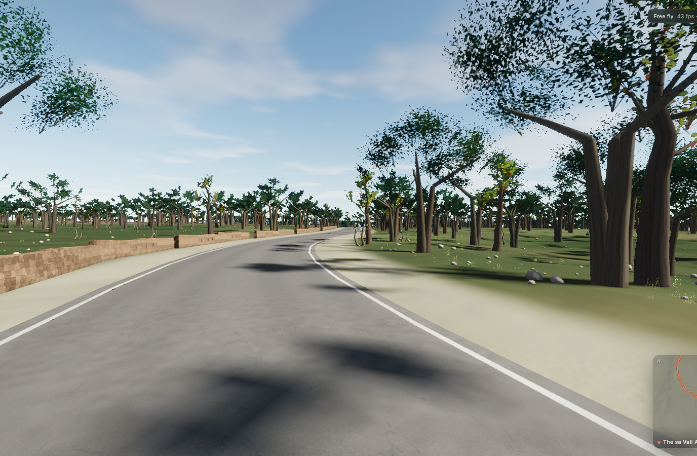 Captured in muntro
Relief, gradient, and how to pace it
This is serious vertical terrain. The road spans 417 m from bottom to top and accumulates 600 m of ascent, with sampled ramps reaching 10%. The profile makes the pacing decision visible before the first pedal stroke.
Start conservatively and keep something in reserve for the final third. On a smart trainer the real gradient changes arrive exactly where the road changes, so a smooth power ceiling matters more than chasing speed on every ramp.
Points to watch for
The best Mallorca routes are remembered as a sequence of places, not as a GPX line. These are the changes of scene that organise this ride.
- 01
Porreres
The route rolls away from Porreres, giving you a few minutes to find cadence and read the road ahead.
- 02
Monti-Sion
Monti-Sion is one of the route’s defining changes of scene and a useful marker for pacing the ride.
- 03
the camí vell
the camí vell is one of the route’s defining changes of scene and a useful marker for pacing the ride.
- 04
Randa
Randa is one of the route’s defining changes of scene and a useful marker for pacing the ride.
- 05
Cura
Cura is one of the route’s defining changes of scene and a useful marker for pacing the ride.
Why this road works indoors
muntro does not flatten the Porreres camins vells into a workout backdrop. The route’s bends, height, and junction order come from the road itself, while a compatible trainer reproduces the changing gradient under your pedals.
Because the course closes naturally, it works especially well for repeated laps, steady endurance rides, and comparing the same decisions under fatigue.
Before you clip in.
How long is The Porreres camins vells?
The route is 46.5 km from start to finish, with 600 m of measured climbing.
How hard is The Porreres camins vells?
muntro rates it hard. The route reaches 542 m, accumulates 600 m of ascent, and its sampled steepest gradient is 10%.
Can I ride The Porreres camins vells indoors?
Yes. The Ride now link opens this exact road in muntro. A compatible smart trainer or power meter can drive the ride directly in the browser.