Mallorca route guide · Serra de Tramuntana
Riding The Bunyola Ring
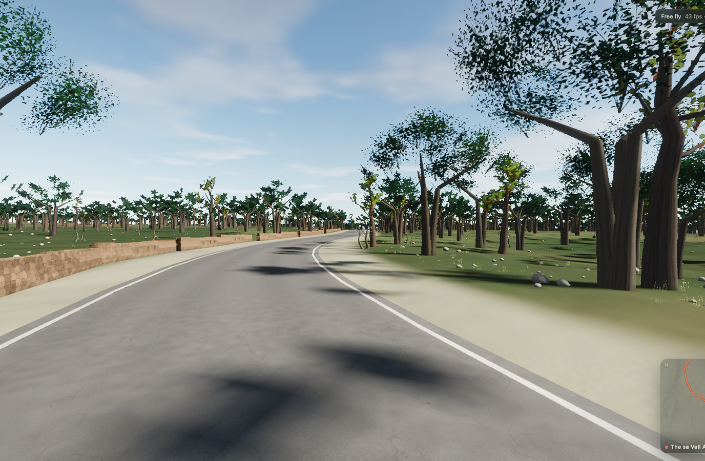
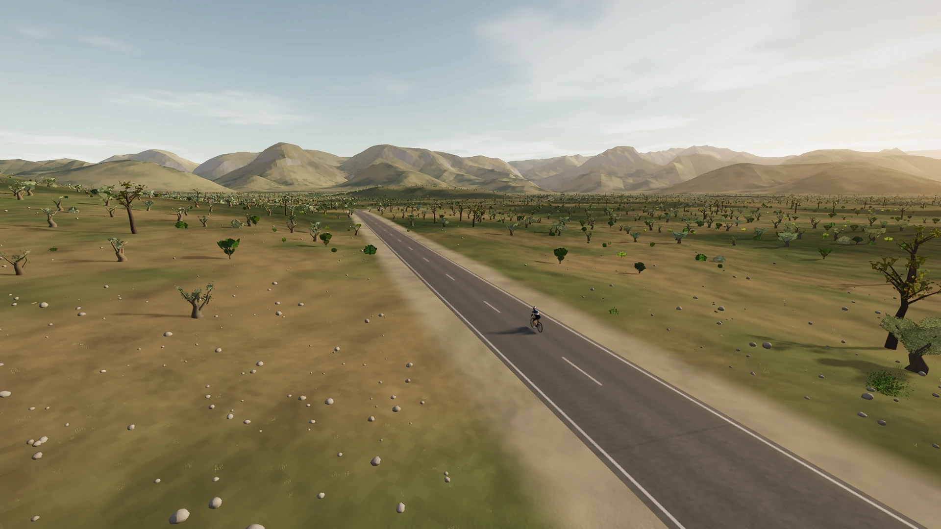
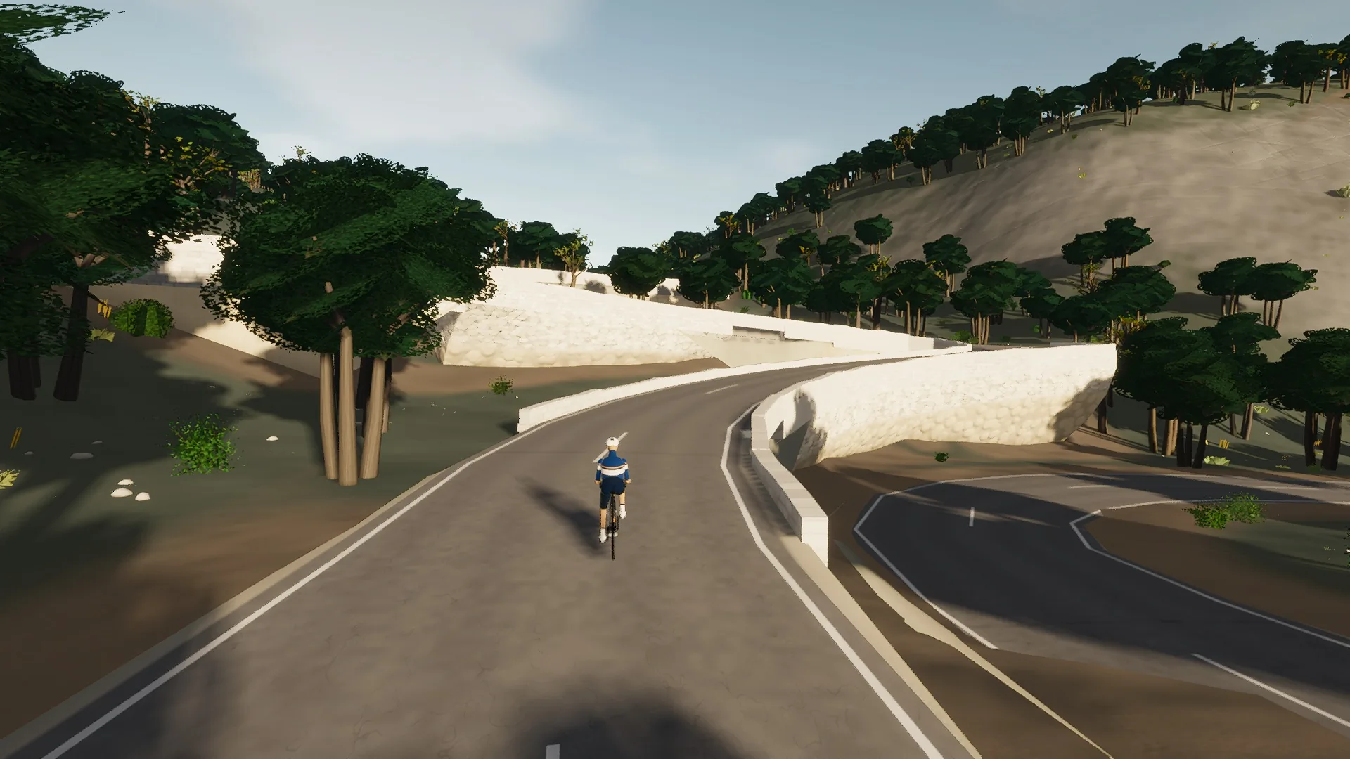
The first circuit in this world: a road that leaves a town and comes back to it without turning round. Out across the flat first — a straight farm road under wires past a six-sailed windmill, with the Tramuntana standing behind it — then the carretera d’Alaró climbing north through country nobody has photographed. From Alaró the road turns into the mountains for the two passes and the hidden valley between them, and comes down a staircase of hairpins into the plaça it started from. The fast way and the long way, one after the other.
This is a true 35.9 km circuit: the road closes naturally rather than using an artificial turnaround.
The route is read through settlement edges: narrow streets, rooflines, roundabouts, church towers, old road alignments, and the moment the built fabric releases the rider back into open country.
 Captured in muntro
Relief, gradient, and how to pace it
This is serious vertical terrain. The road spans 432 m from bottom to top and accumulates 557 m of ascent, with sampled ramps reaching 8.2%. The profile makes the pacing decision visible before the first pedal stroke.
Ride the early gradients a shade below the effort you think you can hold. The broken rhythm rewards cadence changes and short, controlled pressure rather than repeated spikes above threshold.
Points to watch for
The best Mallorca routes are remembered as a sequence of places, not as a GPX line. These are the changes of scene that organise this ride.
- 01
Bunyola
The loop begins and ends in the same plaça, with no artificial turnaround.
- 02
The windmill road
Flat farm country and overhead wires frame the Tramuntana wall ahead.
- 03
Alaró
The road turns from the fast plain toward the mountains.
- 04
The two cols
Coll d’Orient and Coll d’Honor put the hidden valley in the middle of the circuit.
Why this road works indoors
muntro does not flatten the Bunyola Ring into a workout backdrop. The route’s bends, height, and junction order come from the road itself, while a compatible trainer reproduces the changing gradient under your pedals.
Because the course closes naturally, it works especially well for repeated laps, steady endurance rides, and comparing the same decisions under fatigue.
Before you clip in.
How long is The Bunyola Ring?
The route is 35.9 km from start to finish, with 557 m of measured climbing.
How hard is The Bunyola Ring?
muntro rates it moderate. The route reaches 551 m, accumulates 557 m of ascent, and its sampled steepest gradient is 8.2%.
Can I ride The Bunyola Ring indoors?
Yes. The Ride now link opens this exact road in muntro. A compatible smart trainer or power meter can drive the ride directly in the browser.