Mallorca route guide · Serra de Tramuntana
Riding The Raiguer hermitages
The foothill villages under the Tramuntana's east flank, and the two hills that stand out of the plain behind them. The camí de ses Deveres links Caimari to Selva off the Ma-2130, the Ma-2112 runs its two arms out to Mancor de la Vall, and the Avinguda del Cocó carries the ride from Lloseta into Inca. The finish is the Puig d'Inca: three kilometres of camí up to the Ermita de Santa Magdalena, with the whole Pla laid out behind you.
This point-to-point line covers 75.9 km, from Caimari toward Selva toward Mancor toward Lloseta toward Santa Magdalena toward Inca.
The route is read through settlement edges: narrow streets, rooflines, roundabouts, church towers, old road alignments, and the moment the built fabric releases the rider back into open country.
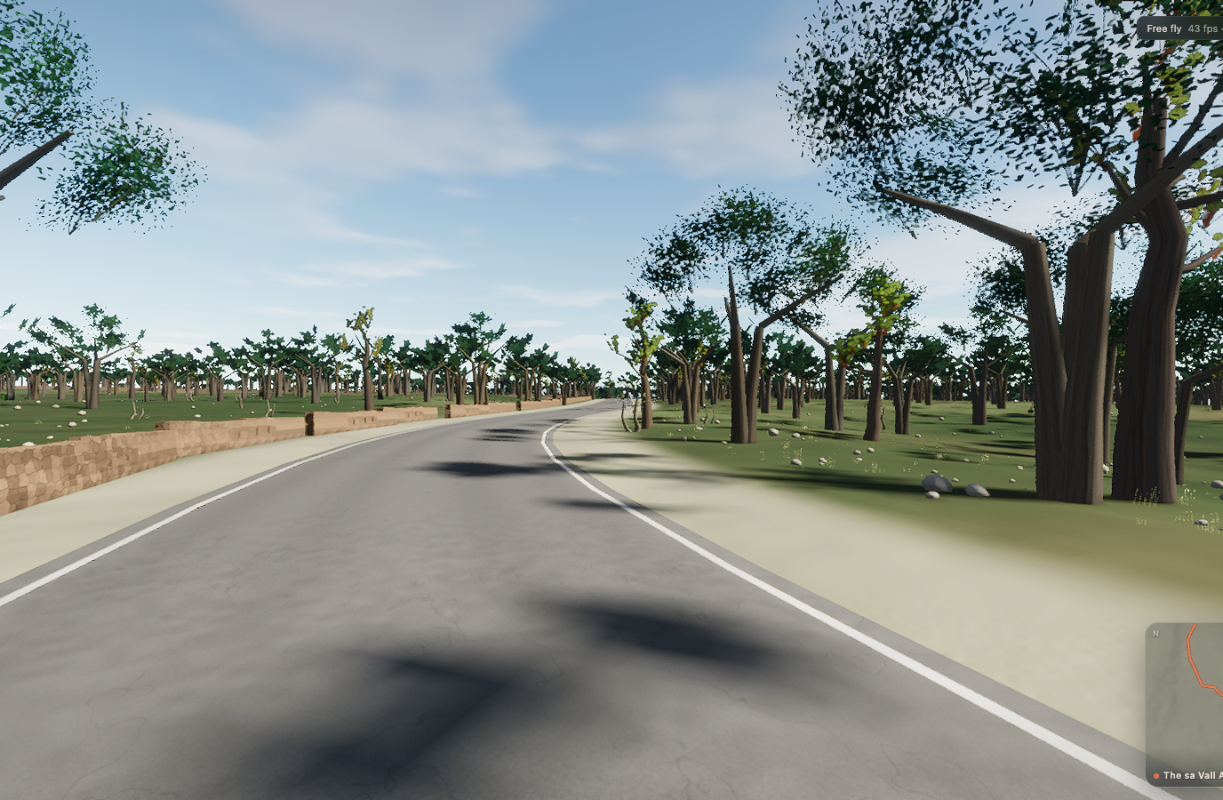 Captured in muntro
Relief, gradient, and how to pace it
The elevation trace is rolling rather than alpine, spanning 220 m from low point to high point. There is 736 m of total ascent, enough to reward measured pressure over the rises without turning the whole route into a survival exercise.
Treat this as a long mountain day. Fuel before you need it, cap the early effort, and let the descents reset your breathing; the profile is too large to rescue with one heroic final interval.
Points to watch for
The best Mallorca routes are remembered as a sequence of places, not as a GPX line. These are the changes of scene that organise this ride.
- 01
Caimari
The route rolls away from Caimari, giving you a few minutes to find cadence and read the road ahead.
- 02
Selva
Selva is one of the route’s defining changes of scene and a useful marker for pacing the ride.
- 03
Mancor
Mancor is one of the route’s defining changes of scene and a useful marker for pacing the ride.
- 04
Lloseta
Lloseta is one of the route’s defining changes of scene and a useful marker for pacing the ride.
- 05
Santa Magdalena
Santa Magdalena is one of the route’s defining changes of scene and a useful marker for pacing the ride.
Why this road works indoors
muntro does not flatten the Raiguer hermitages into a workout backdrop. The route’s bends, height, and junction order come from the road itself, while a compatible trainer reproduces the changing gradient under your pedals.
The point-to-point format gives the session a destination. There is no need to invent a finish when the real road already has one.
Before you clip in.
How long is The Raiguer hermitages?
The route is 75.9 km from start to finish, with 736 m of measured climbing.
How hard is The Raiguer hermitages?
muntro rates it epic. The route reaches 243 m, accumulates 736 m of ascent, and its sampled steepest gradient is 10.7%.
Can I ride The Raiguer hermitages indoors?
Yes. The Ride now link opens this exact road in muntro. A compatible smart trainer or power meter can drive the ride directly in the browser.