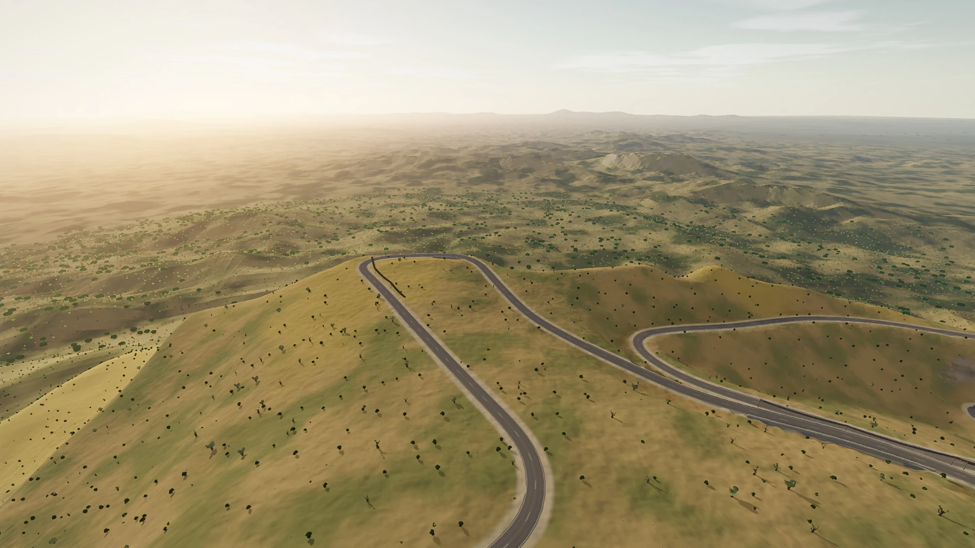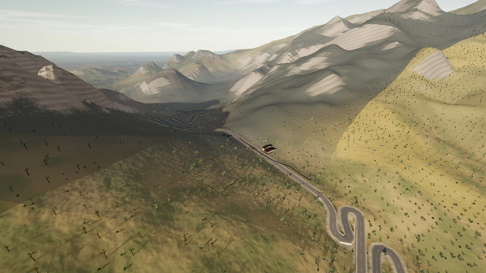
Mallorca route guide · Serra de Tramuntana
Riding Coll de Sóller
The old road over the mountain, and since the tunnel bans bicycles, still the only legal way. Ten and a half kilometres of stacked switchbacks — the ladder up from Sóller through the olives, the col at 497 m with its café, then twenty-four hairpins falling south past the Comellar dels Diables to the gardens of Alfàbia.
The mapped road is 10.5 km each way. Muntro carries it to the turnaround and back, so the complete ride is 21 km with 572 m of climbing.
The mountain character comes from more than gradient. Limestone, tunnel mouths, dry-stone edges, pine shade, reservoirs, and compressed hairpins change the view as much as the elevation.
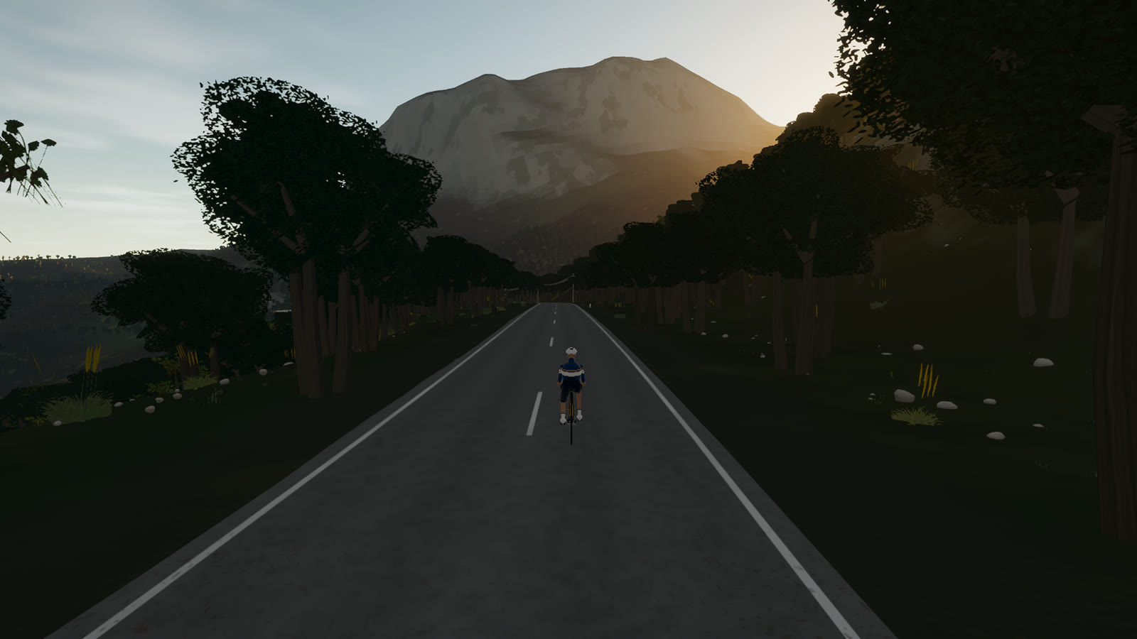 Captured in muntro
Relief, gradient, and how to pace it
The elevation trace is rolling rather than alpine, spanning 316 m from low point to high point. There is 572 m of total ascent, enough to reward measured pressure over the rises without turning the whole route into a survival exercise.
Ride the early gradients a shade below the effort you think you can hold. The broken rhythm rewards cadence changes and short, controlled pressure rather than repeated spikes above threshold.
Points to watch for
The best Mallorca routes are remembered as a sequence of places, not as a GPX line. These are the changes of scene that organise this ride.
- 01
Sóller-side ladder
A dense stack of bends climbs through olive terraces above the valley.
- 02
Coll de Sóller
The café at 497 metres sits on the old road’s compact summit.
- 03
The southern 24
Twenty-four hairpins unwind toward Alfàbia on the longer, faster face.
- 04
Alfàbia gate
The road meets the plain beside the historic gardens and turns for home.
Why this road works indoors
muntro does not flatten Coll de Sóller into a workout backdrop. The route’s bends, height, and junction order come from the road itself, while a compatible trainer reproduces the changing gradient under your pedals.
The turnaround matters: you learn the road in one direction, then read every slope and landmark differently on the way back.
Before you clip in.
How long is Coll de Sóller?
The complete virtual ride is 21 km. Its mapped road is 10.5 km to the turnaround, then the same line is ridden back.
How hard is Coll de Sóller?
muntro rates it moderate. The route reaches 497 m, accumulates 572 m of ascent, and its sampled steepest gradient is 9.5%.
Can I ride Coll de Sóller indoors?
Yes. The Ride now link opens this exact road in muntro. A compatible smart trainer or power meter can drive the ride directly in the browser.