Mallorca route guide · Serra de Tramuntana
Riding Inca to Lluc
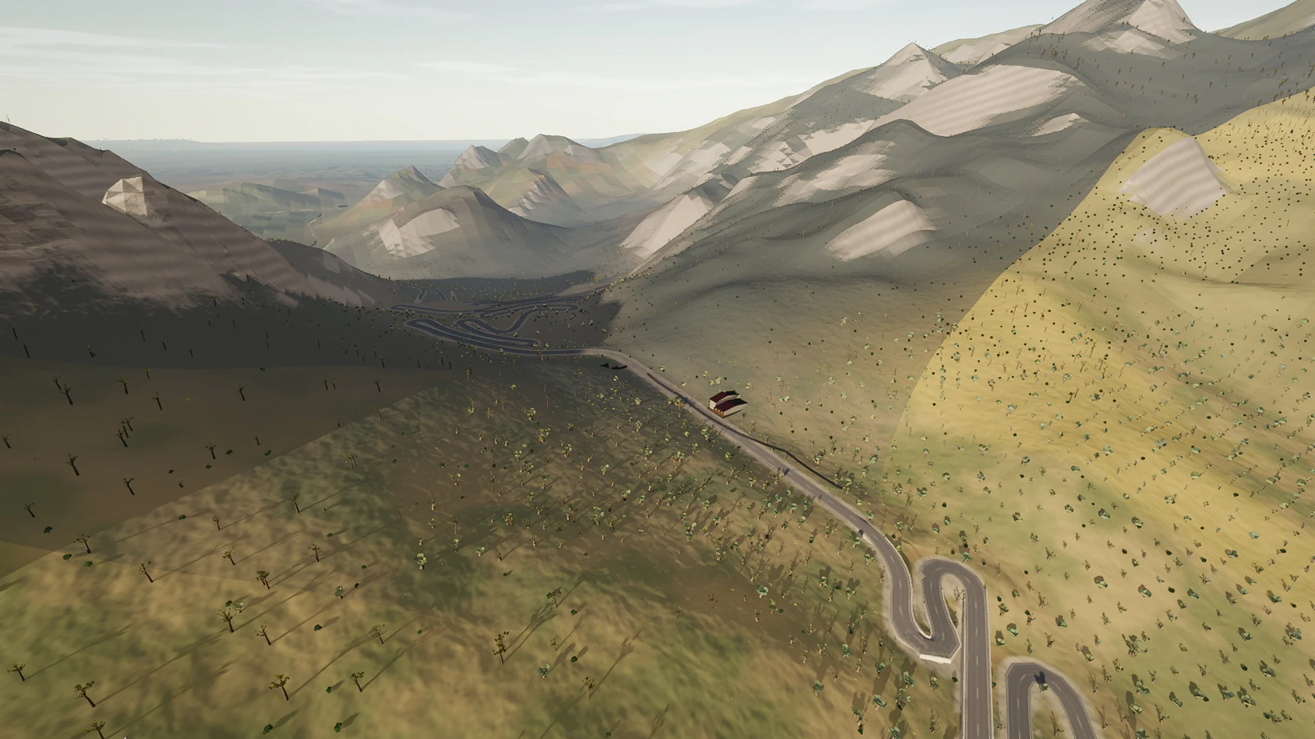
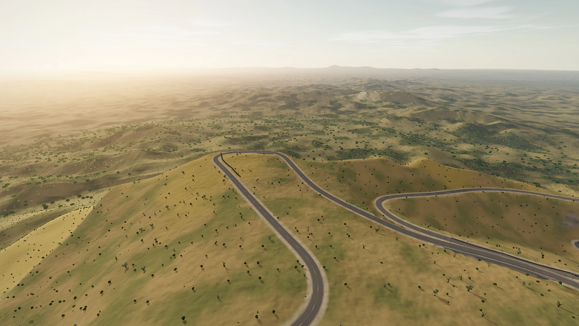
The classic way into the Serra from the plain. The Ma-2130 leaves Inca for Selva on its ridge, drops through Caimari's olive terraces and then climbs, hairpin after hairpin, to the Coll de sa Batalla. The last kilometres run over the Ma-10 and up the Ma-2140 to the monastery of Lluc.
This point-to-point line covers 17.1 km, from Inca toward Selva toward Caimari toward the Coll de sa Batalla toward the Santuari de Lluc.
The mountain character comes from more than gradient. Limestone, tunnel mouths, dry-stone edges, pine shade, reservoirs, and compressed hairpins change the view as much as the elevation.
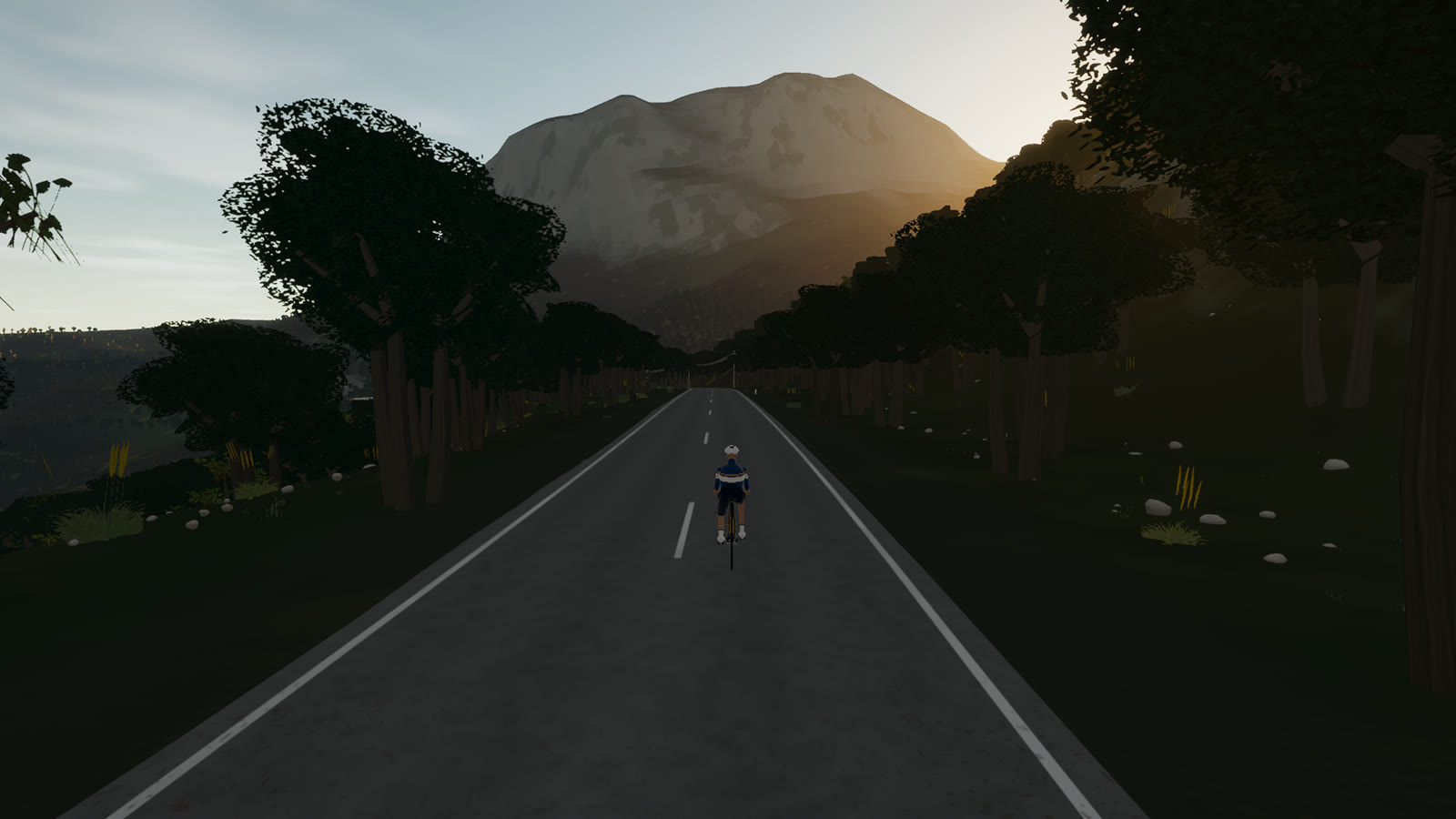 Captured in muntro
Relief, gradient, and how to pace it
This is serious vertical terrain. The road spans 471 m from bottom to top and accumulates 518 m of ascent, with sampled ramps reaching 9.2%. The profile makes the pacing decision visible before the first pedal stroke.
Ride the early gradients a shade below the effort you think you can hold. The broken rhythm rewards cadence changes and short, controlled pressure rather than repeated spikes above threshold.
Points to watch for
The best Mallorca routes are remembered as a sequence of places, not as a GPX line. These are the changes of scene that organise this ride.
- 01
Inca
The route rolls away from Inca, giving you a few minutes to find cadence and read the road ahead.
- 02
Selva
Selva is one of the route’s defining changes of scene and a useful marker for pacing the ride.
- 03
Caimari
Caimari is one of the route’s defining changes of scene and a useful marker for pacing the ride.
- 04
the Coll de sa Batalla
the Coll de sa Batalla is one of the route’s defining changes of scene and a useful marker for pacing the ride.
- 05
the Santuari de Lluc
the Santuari de Lluc is one of the route’s defining changes of scene and a useful marker for pacing the ride.
Why this road works indoors
muntro does not flatten Inca to Lluc into a workout backdrop. The route’s bends, height, and junction order come from the road itself, while a compatible trainer reproduces the changing gradient under your pedals.
The point-to-point format gives the session a destination. There is no need to invent a finish when the real road already has one.
Before you clip in.
How long is Inca to Lluc?
The route is 17.1 km from start to finish, with 518 m of measured climbing.
How hard is Inca to Lluc?
muntro rates it moderate. The route reaches 577 m, accumulates 518 m of ascent, and its sampled steepest gradient is 9.2%.
Can I ride Inca to Lluc indoors?
Yes. The Ride now link opens this exact road in muntro. A compatible smart trainer or power meter can drive the ride directly in the browser.