Mallorca route guide · Migjorn & South
Riding Campos to Portopetro on the Ma-19
Twenty-four kilometres the register filed as trunk and urban duplicate, and which are neither: two unbroken import polylines across the Campos plain, eleven kilometre posts that reproduce the chainage to a percent, Santanyí's gate where the Ma-14 ends nine metres away, the corridor's 121.7 m summit, and a numbered road whose last 277 metres are a harbour quay.
This point-to-point line covers 24 km, from The road a skip row hid — plain, summit, harbour.
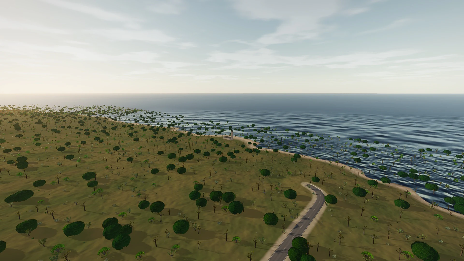
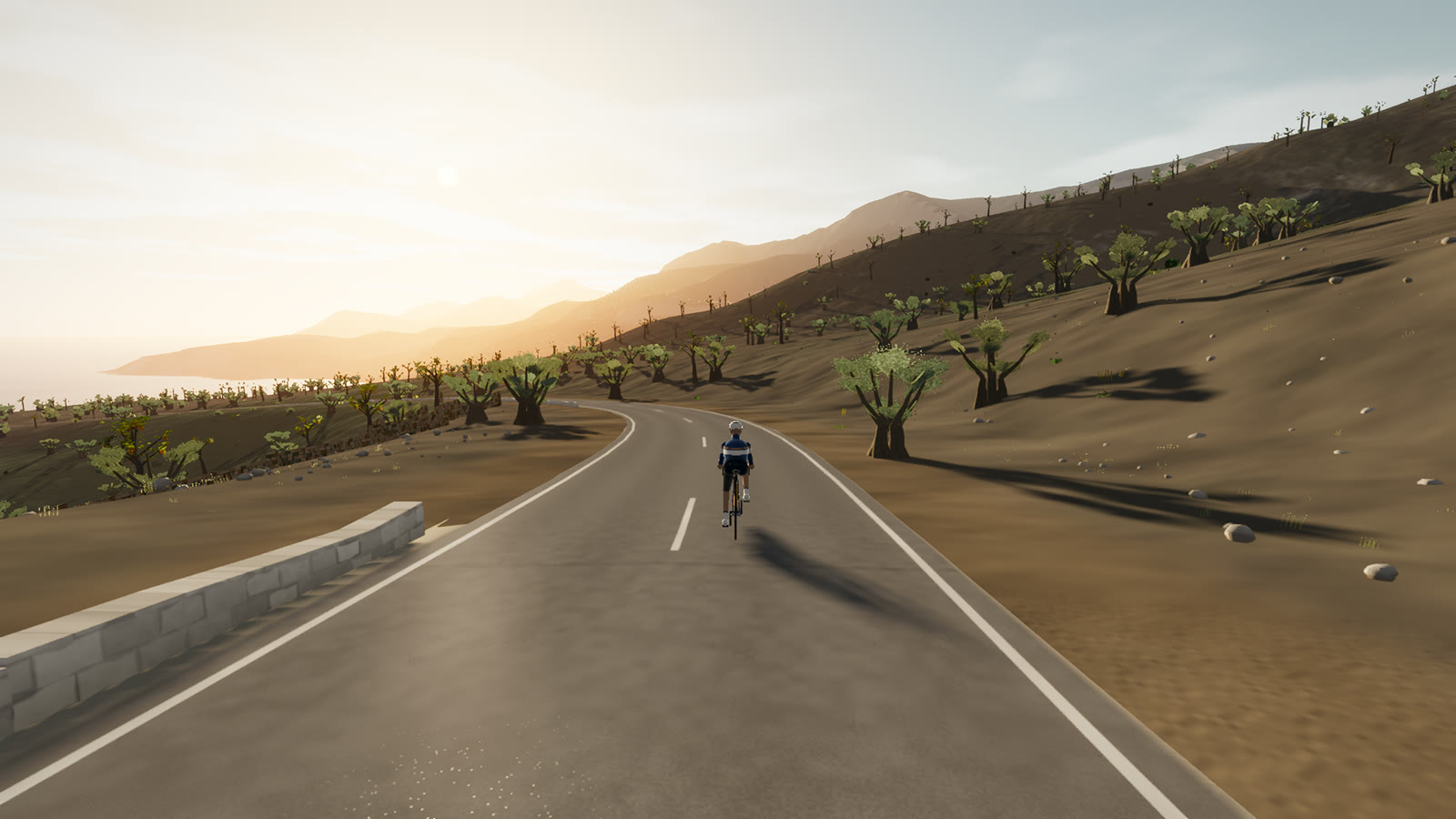
This is coastal Mallorca rather than a generic blue horizon: the road’s relationship with coves, cliffs, ports, stone retaining walls, and open water is what defines it.
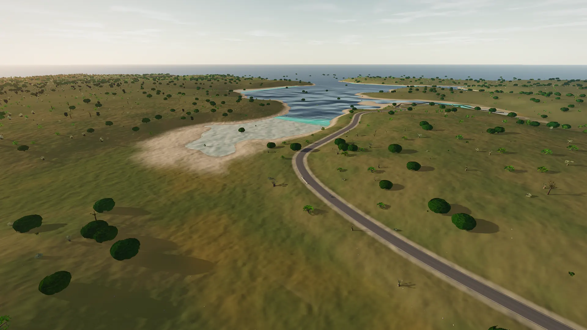 Captured in muntro
Relief, gradient, and how to pace it
The elevation trace is rolling rather than alpine, spanning 114 m from low point to high point. There is 157 m of total ascent, enough to reward measured pressure over the rises without turning the whole route into a survival exercise.
Use the opening kilometres to find cadence and keep the power smooth. The route is ideal for endurance work, recovery riding, or simply exploring the island without a large climbing bill.
Points to watch for
The best Mallorca routes are remembered as a sequence of places, not as a GPX line. These are the changes of scene that organise this ride.
- 01
Campos
The route rolls away from Campos, giving you a few minutes to find cadence and read the road ahead.
- 02
The road a skip row hid — plain, summit, harbour
The road a skip row hid — plain, summit, harbour is one of the route’s defining changes of scene and a useful marker for pacing the ride.
- 03
116 m high point
At 116 m high point, the elevation trace reaches its ceiling before the road releases the height it has earned.
Why this road works indoors
muntro does not flatten Campos to Portopetro on the Ma-19 into a workout backdrop. The route’s bends, height, and junction order come from the road itself, while a compatible trainer reproduces the changing gradient under your pedals.
The point-to-point format gives the session a destination. There is no need to invent a finish when the real road already has one.
Before you clip in.
How long is Campos to Portopetro on the Ma-19?
The route is 24 km from start to finish, with 157 m of measured climbing.
How hard is Campos to Portopetro on the Ma-19?
muntro rates it easy. The route reaches 116 m, accumulates 157 m of ascent, and its sampled steepest gradient is 6.4%.
Can I ride Campos to Portopetro on the Ma-19 indoors?
Yes. The Ride now link opens this exact road in muntro. A compatible smart trainer or power meter can drive the ride directly in the browser.